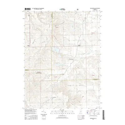
2016 Map of Waymansville
USGS Topo · Published 2016About this map
Waymansville serves as a central point in this southern Indiana landscape, where the borders of Bartholomew, Brown, and Jackson Counties converge. The region is defined by a dense network of creek valleys and ridges, including Poplar Ridge and Gilmore Hill, which influenced the placement of early settlements and family cemeteries. Significant tracts of the Hoosier National Forest occupy the southwest, preserving the timbered character of the terrain.
Find a feature on this map
84 named features on this map. Tap any name to fly to it.
Don’t see what you’re looking for? This feature index may not catch every label — zoom into the map to look around manually.
Map Details
Editions of this 2016 Waymansville Map
This is the sole edition of this map. No revisions or reprints were ever made.
Other maps of this area

1942 · Franklin
USGS Topo · 1:125,000

1942 · Columbus
USGS Topo · 1:125,000

1947 · Nashville
USGS Topo · 1:24,000

1948 · New Bellsville
USGS Topo · 1:24,000

1948 · Waymansville
USGS Topo · 1:24,000

1949 · Nashville
USGS Topo · 1:24,000

1953 · Cincinnati
USGS Topo · 1:250,000

1953 · Indianapolis
USGS Topo · 1:250,000

1956 · Indianapolis
USGS Topo · 1:250,000

1956 · Story
USGS Topo · 1:24,000