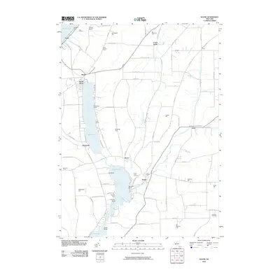
2010 Map of Wayne
USGS Topo · Published 2010About this map
Keuka Lake and the surrounding Finger Lakes terrain define this landscape, where steep slopes like Barrington Hill and Stocking Hill drop toward a series of valley basins. The geography follows a distinct north-south orientation, with Waneta Lake and Lamoka Lake linked by Mud Creek, creating a continuous waterway through the center of the sheet. The local economy and land use are centered on viticulture and recreation, evidenced by the McGregor Vineyard Winery near the northern heights and Camp Gorton on the eastern shore of Waneta Lake.
Find a feature on this map
99 named features on this map. Tap any name to fly to it.
Don’t see what you’re looking for? This feature index may not catch every label — zoom into the map to look around manually.
Map Details
Editions of this 2010 Wayne Map
This is the sole edition of this map. No revisions or reprints were ever made.
Other maps of this area

1898 · Watkins Glen
USGS Topo · 1:62,500

1901 · Watkins
USGS Topo · 1:62,500

1902 · Ovid
USGS Topo · 1:62,500

1903 · Penn Yan
USGS Topo · 1:62,500

1903 · Hammondsport
USGS Topo · 1:62,500

1905 · Watkins Glen
USGS Topo · 1:125,000

1942 · Pulteney
USGS Topo · 1:31,680

1942 · Dundee
USGS Topo · 1:24,000

1942 · Keuka Park
USGS Topo · 1:24,000

1943 · Keuka Lake
USGS Topo · 1:31,680