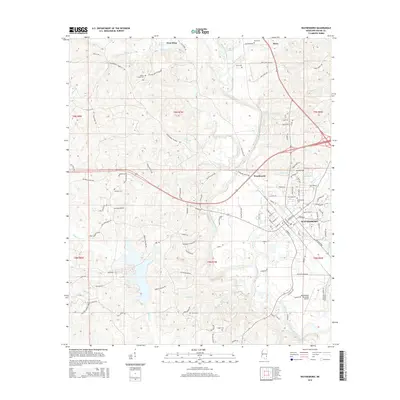
2015 Map of Waynesboro
USGS Topo · Published 2015About this map
The Chickasawhay River meanders through the heart of Wayne County, serving as a defining geographical feature for the city of Waynesboro. This 2015 study shows the modern layout of the city, where established residential streets like White Oak St and Timber Ridge Cir meet the rural expanses of the surrounding piney woods. The landscape is dotted with numerous family and community landmarks, including Yellow Creek Cem, Gray Cem, and Dyess Cem, which offer significant value for genealogists tracing local lineage.
Find a feature on this map
113 named features on this map. Tap any name to fly to it.
Don’t see what you’re looking for? This feature index may not catch every label — zoom into the map to look around manually.
Map Details
Editions of this 2015 Waynesboro Map
This is the sole edition of this map. No revisions or reprints were ever made.
Other maps of this area

1953 · Hattiesburg
USGS Topo · 1:250,000

1958 · Hattiesburg
USGS Topo · 1:250,000

1964 · Denham
USGS Topo · 1:24,000

1964 · Eucutta
USGS Topo · 1:24,000

1964 · Clara
USGS Topo · 1:24,000

1964 · Waynesboro
USGS Topo · 1:24,000

1964 · Whistler
USGS Topo · 1:24,000

1964 · Shubuta
USGS Topo · 1:24,000

1964 · Buckatunna
USGS Topo · 1:24,000

1964 · Matherville
USGS Topo · 1:24,000