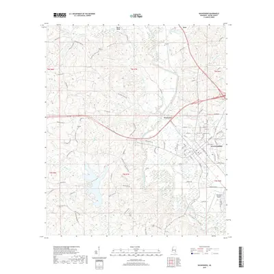
2018 Map of Waynesboro
USGS Topo · Published 2018About this map
Waynesboro serves as the central hub of this 2018 survey, showcasing a grid of streets such as Spring St and Mississippi Dr alongside the Waynesboro Municipal Airport. The Chickasawhay River meanders through the landscape, joined by numerous tributaries including Yellow Cr, Sandy Cr, and Limestone Cr. The map is particularly rich for genealogical research, documenting several dispersed burial sites including Mozingo Cem, Dyess Cem, and Bolce Cem. Small settlements like King and Woodwards are connected by a network of rural roads such as the Waynesboro Shubuta Rd and Old River Rd. The southern portion of the quadrangle is defined by swampy lowlands around Gum Pond and the branching waters of Red Cr, illustrating the typical bottomland geography of Wayne County.
Find a feature on this map
107 named features on this map. Tap any name to fly to it.
Don’t see what you’re looking for? This feature index may not catch every label — zoom into the map to look around manually.
Map Details
Editions of this 2018 Waynesboro Map
This is the sole edition of this map. No revisions or reprints were ever made.
Other maps of this area

1953 · Hattiesburg
USGS Topo · 1:250,000

1958 · Hattiesburg
USGS Topo · 1:250,000

1964 · Denham
USGS Topo · 1:24,000

1964 · Eucutta
USGS Topo · 1:24,000

1964 · Clara
USGS Topo · 1:24,000

1964 · Waynesboro
USGS Topo · 1:24,000

1964 · Whistler
USGS Topo · 1:24,000

1964 · Shubuta
USGS Topo · 1:24,000

1964 · Buckatunna
USGS Topo · 1:24,000

1964 · Matherville
USGS Topo · 1:24,000