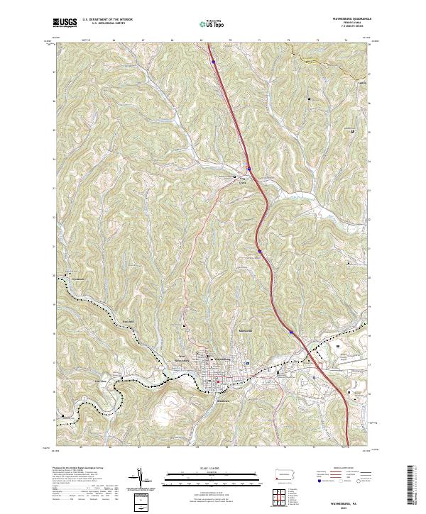
2023 Map of Waynesburg
USGS Topo · Published 2023About this map
The county seat of Waynesburg and its surrounding rural topography define this landscape, where the South Fork Tenmile Creek winds past several distinct neighborhoods. The town center is anchored by the Greene County Courthouse and the campus of Waynesburg University, while the smaller settlements of Blairtown, West Waynesburg, and Morrisville spread along the valley floor. To the east, the Greene County Airport and Fair Grounds mark the limits of the urban area.
Find a feature on this map
135 named features on this map. Tap any name to fly to it.
Don’t see what you’re looking for? This feature index may not catch every label — zoom into the map to look around manually.
Map Details
Editions of this 2023 Waynesburg Map
This is the sole edition of this map. No revisions or reprints were ever made.
Other maps of this area

1901 · Amity
USGS Topo · 1:62,500

1901 · Waynesburg
USGS Topo · 1:62,500

1904 · Amity
USGS Topo · 1:62,500

1904 · Waynesburg
USGS Topo · 1:62,500

1905 · Rogersville
USGS Topo · 1:62,500

1907 · Claysville
USGS Topo · 1:62,500

1949 · Clarksburg
USGS Topo · 1:250,000

1951 · Canton
USGS Topo · 1:250,000

1953 · Canton
USGS Topo · 1:250,000
1954 · Ellsworth
USGS Topo · 1:24,000