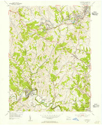
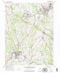
1954 Map of Ellsworth
USGS Topo · Published 1955About this map
Industrial and coal mining activity defines the mid-century landscape of Washington County, where the Pennsylvania railroad connects tight-knit mining communities. In towns like Ellsworth, Cokeburg, and Bentleyville, the concentration of mine shafts, air shafts, and massive mine dumps—including the Ontario Mine (Abandoned)—reflects the heavy extraction that shaped local development. South of the National Road, the terrain transitions to a series of hills and hollows surrounding the winding Tenmile Creek, dotted with family-named landmarks and rural institutions such as the Ulery Sch and Buckingham Cem. The map captures a moment of transition for settlements like Marianna and East Marianna, showing the dense residential patterns of industrial hamlets alongside the established crossroads of Scenery Hill. From the Filtration Plant to the scattered country churches like Mt Calvary Ch, the documentation provides a detailed view of the region's mid-century social and economic fabric.
Find a feature on this map
72 named features on this map. Tap any name to fly to it.
Don’t see what you’re looking for? This feature index may not catch every label — zoom into the map to look around manually.
Map Details
Editions of this 1954 Ellsworth Map
5 editions found
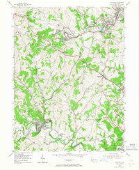
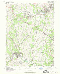
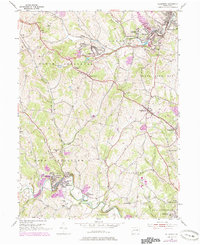
Other maps of this area

1900 · Masontown
USGS Topo · 1:62,500

1901 · Amity
USGS Topo · 1:62,500

1901 · Waynesburg
USGS Topo · 1:62,500

1902 · Brownsville
USGS Topo · 1:62,500

1903 · Masontown
USGS Topo · 1:62,500

1904 · Amity
USGS Topo · 1:62,500

1904 · Waynesburg
USGS Topo · 1:62,500

1906 · Brownsville
USGS Topo · 1:62,500

1931 · Brownsville
USGS Topo · 1:62,500

1931 · Masontown
USGS Topo · 1:62,500