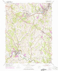
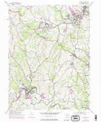
1954 Map of Ellsworth
USGS Topo · Published 1979About this map
Marianna sits at a sharp bend in Tenmile Creek, highlighting the industrial and residential settlement patterns of Washington County during the mid-20th century. The landscape is a complex network of mining and transit, evidenced by several Strip Mines and the presence of the Conrail line connecting Cokeburg and Ellsworth. The historic National Road cuts across the center of the map, linking Scenery Hill and Beallsville, serving as a primary corridor for 1950s commerce and travel. Local life is centered around rural institutions like the West Bethlehem High Sch, Deemston Sch, and numerous hilltop churches such as Mt Calvary Ch. The transition between historic villages like Old Zollarsville and emerging housing at Pleasant View Heights illustrates the post-war evolution of Pennsylvania's coal country.
Find a feature on this map
64 named features on this map. Tap any name to fly to it.
Don’t see what you’re looking for? This feature index may not catch every label — zoom into the map to look around manually.
Map Details
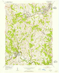
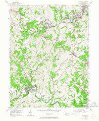
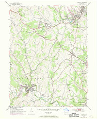
Editions of this 1954 Ellsworth Map
5 editions found
Other maps of this area

1900 · Masontown
USGS Topo · 1:62,500

1901 · Amity
USGS Topo · 1:62,500

1901 · Waynesburg
USGS Topo · 1:62,500

1902 · Brownsville
USGS Topo · 1:62,500

1903 · Masontown
USGS Topo · 1:62,500

1904 · Amity
USGS Topo · 1:62,500

1904 · Waynesburg
USGS Topo · 1:62,500

1906 · Brownsville
USGS Topo · 1:62,500

1931 · Brownsville
USGS Topo · 1:62,500

1931 · Masontown
USGS Topo · 1:62,500