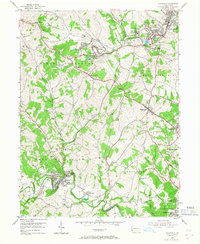
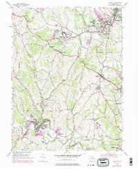
1954 Map of Ellsworth
USGS Topo · Published 1968About this map
The Pennsylvania railroad lines and the historic National Road anchor this industrial and agricultural landscape in Washington County. In the mid-1950s, the region was defined by its active coal industry, notably at the Ontario Mine (Active) near Cokeburg, where extensive mine dumps and an air shaft are recorded. The settlement of Marianna sits at a bend in Tenmile Creek, neighbored by East Marianna and West Zollarsville.
Find a feature on this map
61 named features on this map. Tap any name to fly to it.
Don’t see what you’re looking for? This feature index may not catch every label — zoom into the map to look around manually.
Map Details
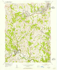
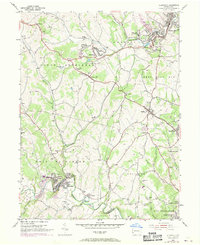
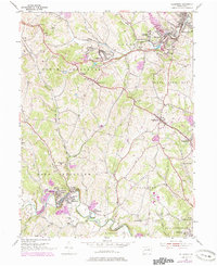
Editions of this 1954 Ellsworth Map
5 editions found
Other maps of this area

1900 · Masontown
USGS Topo · 1:62,500

1901 · Amity
USGS Topo · 1:62,500

1901 · Waynesburg
USGS Topo · 1:62,500

1902 · Brownsville
USGS Topo · 1:62,500

1903 · Masontown
USGS Topo · 1:62,500

1904 · Amity
USGS Topo · 1:62,500

1904 · Waynesburg
USGS Topo · 1:62,500

1906 · Brownsville
USGS Topo · 1:62,500

1931 · Brownsville
USGS Topo · 1:62,500

1931 · Masontown
USGS Topo · 1:62,500