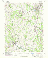
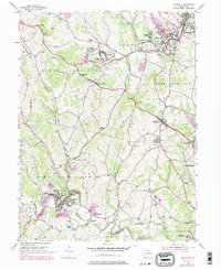
1954 Map of Ellsworth
USGS Topo · Published 1970About this map
Cokeburg and Ellsworth center this industrial landscape during a period of infrastructure modernization, where the legacy of coal mining meets the expanding utility corridor. The map reveals a dense network of energy and transport, from the Penn Central railroad lines to the numerous Gas Well and Oil Well sites dotting the hills of Somerset and North Bethlehem. In the southern reaches, the twin settlements of Marianna and East Marianna sit along the winding Tenmile Creek, supported by the West Bethlehem High Sch and several Mine Dump locations that reflect the era's primary industry. Rural life remains visible through family-named landmarks and institutions like the Ulery Sch and Pigeon Creek Cem, while the historic National Road cuts across the center through Scenery Hill. This survey captures the transition as purple 1969 revisions overlay the original 1954 data, showing the growth of Richeyville and Bentleyville.
Find a feature on this map
78 named features on this map. Tap any name to fly to it.
Don’t see what you’re looking for? This feature index may not catch every label — zoom into the map to look around manually.
Map Details
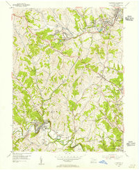
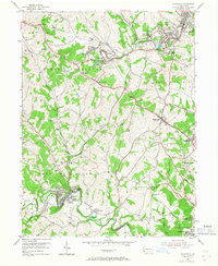
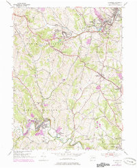
Editions of this 1954 Ellsworth Map
5 editions found
Other maps of this area

1900 · Masontown
USGS Topo · 1:62,500

1901 · Amity
USGS Topo · 1:62,500

1901 · Waynesburg
USGS Topo · 1:62,500

1902 · Brownsville
USGS Topo · 1:62,500

1903 · Masontown
USGS Topo · 1:62,500

1904 · Amity
USGS Topo · 1:62,500

1904 · Waynesburg
USGS Topo · 1:62,500

1906 · Brownsville
USGS Topo · 1:62,500

1931 · Brownsville
USGS Topo · 1:62,500

1931 · Masontown
USGS Topo · 1:62,500