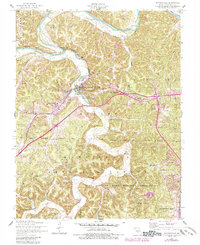
1954 Map of Waynesville
USGS Topo · Published 1985About this map
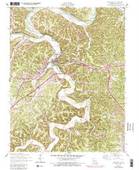
Waynesville and St Robert anchor this mid-century topographic study, which captures a period of growth along the Ozark plateau just as interstate-era updates were being documented. The landscape is defined by the winding course of the Gasconade River and Roubidoux Creek, with local landmarks like Roubidoux Spring and Cole Spring marking the karst topography of Pulaski County. To the south, the extensive Fort Leonard Wood Military Reservation dominates the terrain, intersecting with the Mark Twain National Forest.
Find a feature on this map
41 named features on this map. Tap any name to fly to it.
Don’t see what you’re looking for? This feature index may not catch every label — zoom into the map to look around manually.
Map Details
Editions of this 1954 Waynesville Map
5 editions found
Other maps of this area

1936 · Waynesville
USGS Topo · 1:48,000

1941 · Big Piney
USGS Topo · 1:62,500

1942 · Waynesville
USGS Topo · 1:62,500

1943 · Richland
USGS Topo · 1:62,500

1943 · Big Piney
USGS Topo · 1:62,500

1943 · Drynob
USGS Topo · 1:62,500

1944 · Waynesville
USGS Topo · 1:62,500

1954 · Springfield
USGS Topo · 1:250,000
1954 · Hancock
USGS Topo · 1:24,000

1954 · Drynob
USGS Topo · 1:62,500