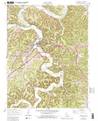
1954 Map of Waynesville
USGS Topo · Published 1985About this map
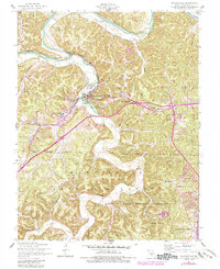
Roubidoux Creek carves a winding path through the Ozark landscape, meeting the Gasconade River north of the growing mid-century community of Waynesville. This survey illustrates the significant military and institutional footprint in Pulaski County during the post-war era, dominated by the massive Fort Leonard Wood Military Reservation and the protected lands of the Mark Twain National Forest. The map documents a blend of established civic infrastructure, like the Waynesville General Hospital and Memorial Park, alongside deeper rural roots found in numerous family burial grounds such as Turpin Cem and Bradford Cem. Local geography is further defined by notable karst features, including Roubidoux Spring, Pikes Peak Cave, and York Cave, while the Old Indian Lead Mine points toward the region's early extractive history.
Find a feature on this map
34 named features on this map. Tap any name to fly to it.
Don’t see what you’re looking for? This feature index may not catch every label — zoom into the map to look around manually.
Map Details
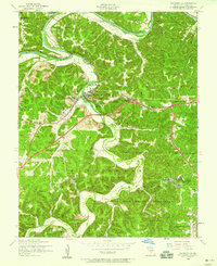
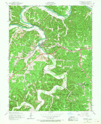
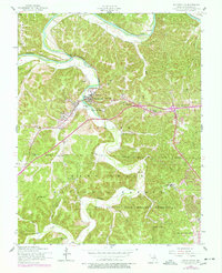
Editions of this 1954 Waynesville Map
5 editions found
Other maps of this area

1936 · Waynesville
USGS Topo · 1:48,000

1941 · Big Piney
USGS Topo · 1:62,500

1942 · Waynesville
USGS Topo · 1:62,500

1943 · Richland
USGS Topo · 1:62,500

1943 · Big Piney
USGS Topo · 1:62,500

1943 · Drynob
USGS Topo · 1:62,500

1944 · Waynesville
USGS Topo · 1:62,500

1954 · Springfield
USGS Topo · 1:250,000
1954 · Hancock
USGS Topo · 1:24,000

1954 · Drynob
USGS Topo · 1:62,500