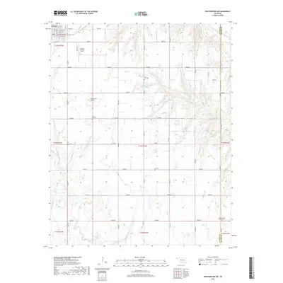
2018 Map of Weatherford NW
USGS Topo · Published 2018About this map
The town of Thomas anchors the northwestern corner of this Custer County landscape, where the street grid transitions into an expansive network of rural section-line roads. The terrain is defined by the drainage systems of Bear Cr and Deer Cr, which carve through the plains toward the Canadian River in the northeast. A notable local landmark, Sugar Loaf Mound, rises above the surrounding fields south of the city, providing a distinct topographical break in the prairie.
Find a feature on this map
38 named features on this map. Tap any name to fly to it.
Don’t see what you’re looking for? This feature index may not catch every label — zoom into the map to look around manually.
Map Details
Editions of this 2018 Weatherford NW Map
This is the sole edition of this map. No revisions or reprints were ever made.
Other maps of this area

1955 · Clinton
USGS Topo · 1:250,000

1957 · Clinton
USGS Topo · 1:250,000

1957 · Clinton
USGS Topo · 1:62,500

1962 · Putnam
USGS Topo · 1:62,500

1964 · Oakwood
USGS Topo · 1:62,500

1964 · Weatherford
USGS Topo · 1:62,500

1976 · Clinton SE
USGS Topo · 1:24,000

1976 · Clinton NE
USGS Topo · 1:24,000
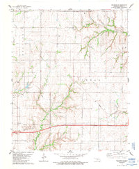
1983 · Indianapolis
USGS Topo · 1:24,000
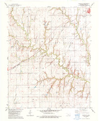
1983 · Clinton NE
USGS Topo · 1:24,000