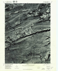
1976 Map of Weatherly
USGS Topo · Published 1979About this map
Weatherly sits at the heart of this orthophotoquad, where the tight valley of Black Creek cuts through the high ridges of the Pennsylvania anthracite region. In the mid-1970s, the landscape reveals a stark contrast between the concentrated residential grid of the town and the deeply textured, forested slopes of Round Head Mountain and Penn Haven Mountain. The imagery captures the historic industrial and transportation corridors that defined this area, including the path toward the Lehigh River at Rockport.
Find a feature on this map
10 named features on this map. Tap any name to fly to it.
Don’t see what you’re looking for? This feature index may not catch every label — zoom into the map to look around manually.
Map Details
Editions of this 1976 Weatherly Map
This is the sole edition of this map. No revisions or reprints were ever made.
Other maps of this area

1889 · Hazleton
USGS Topo · 1:62,500

1891 · Wilkesbarre
USGS Topo · 1:62,500

1891 · Hazleton
USGS Topo · 1:62,500

1893 · Hazleton
USGS Topo · 1:62,500

1894 · Wilkesbarre
USGS Topo · 1:62,500

1922 · Mauch Chunk
USGS Topo · 1:62,500

1922 · Stoddartsville
USGS Topo · 1:62,500

1924 · Stoddartsville
USGS Topo · 1:62,500

1924 · Mauch Chunk
USGS Topo · 1:62,500

1943 · Scranton
USGS Topo · 1:125,000