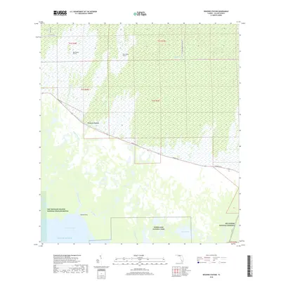
2018 Map of Weavers Station
USGS Topo · Published 2018About this map
Weavers Station and the surrounding wilderness of Collier County are meticulously documented in this 2018 survey. The landscape is defined by the convergence of major conservation areas, including the Ten Thousand Islands National Wildlife Refuge, Everglades National Park, and Big Cypress National Preserve. Human infrastructure is largely limited to the Tamiami Trl E corridor and the parallel Tamiami Canal Number C-4, which cut across the intricate water systems of the Fakahatchee River and E River. The map provides names for specific ecological features like Dan House Prairie, Four Stake Prairie, and the Fakahatchee Strand, offering a detailed look at the hydrology of the coastal marsh where the Ferguson River meets Ferguson Bay and the Gulf of Mexico.
Find a feature on this map
27 named features on this map. Tap any name to fly to it.
Don’t see what you’re looking for? This feature index may not catch every label — zoom into the map to look around manually.
Map Details
Editions of this 2018 Weavers Station Map
This is the sole edition of this map. No revisions or reprints were ever made.
Other maps of this area

1956 · Miami
USGS Topo · 1:250,000

1956 · West Palm Beach
USGS Topo · 1:250,000

1957 · West Palm Beach
USGS Topo · 1:250,000

1958 · West Palm Beach
USGS Topo · 1:250,000

1958 · Miami
USGS Topo · 1:250,000

1958 · Belle Meade SE
USGS Topo · 1:24,000

1959 · Deep Lake
USGS Topo · 1:24,000

1959 · Deep Lake SW
USGS Topo · 1:24,000

1972 · Weavers Station
USGS Topo · 1:24,000

1972 · Ochopee
USGS Topo · 1:24,000