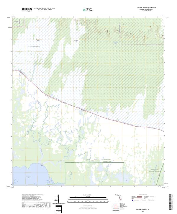
2024 Map of Weavers Station
USGS Topo · Published 2024About this map
The Marjory Stoneman Douglas Wilderness anchors this coastal section of South Florida, where the freshwater systems of the Everglades National Park meet the brackish reaches of the Ten Thousand Islands National Wildlife Refuge. The landscape is a complex of sawgrass and cypress, notably the Fakahatchee Strand and open areas like Dan House Prairie and Four Stake Prairie. Human infrastructure is largely defined by the linear corridor of the Tamiami Trl E and the adjacent Tamiami Canal Number C-4, which represent the primary 20th-century effort to bridge the swamp between East and West coasts. To the south, the map details the intricate tidal hydrology of the Fakahatchee River and Ferguson River as they drain into Fakahatchee Bay near Daniels Point.
Find a feature on this map
25 named features on this map. Tap any name to fly to it.
Don’t see what you’re looking for? This feature index may not catch every label — zoom into the map to look around manually.
Map Details
Editions of this 2024 Weavers Station Map
This is the sole edition of this map. No revisions or reprints were ever made.
Other maps of this area

1956 · Miami
USGS Topo · 1:250,000

1956 · West Palm Beach
USGS Topo · 1:250,000

1957 · West Palm Beach
USGS Topo · 1:250,000

1958 · West Palm Beach
USGS Topo · 1:250,000

1958 · Miami
USGS Topo · 1:250,000

1958 · Belle Meade SE
USGS Topo · 1:24,000

1959 · Deep Lake
USGS Topo · 1:24,000

1959 · Deep Lake SW
USGS Topo · 1:24,000

1972 · Weavers Station
USGS Topo · 1:24,000

1972 · Ochopee
USGS Topo · 1:24,000