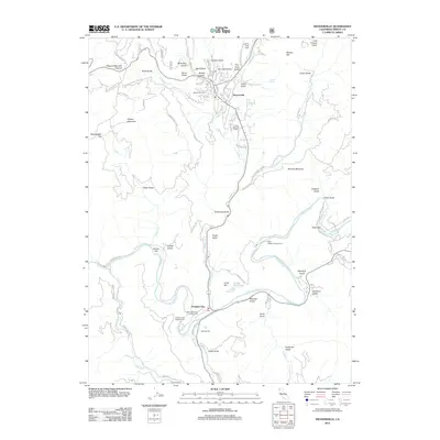
2012 Map of Weaverville
USGS Topo · Published 2012About this map
Weaverville and Douglas City sit within a landscape defined by the confluence of mountain creeks and the winding Trinity River. This 2012 survey shows the modern footprint of these communities, including the Trinity Alps Golf Course and the Weaverville Cem. The terrain is deeply incised by numerous gulches, many bearing names that reflect the region’s long mining history, such as Ten Cent Gulch, Five Cent Gulch, and Last Chance Gulch.
Find a feature on this map
87 named features on this map. Tap any name to fly to it.
Don’t see what you’re looking for? This feature index may not catch every label — zoom into the map to look around manually.
Map Details
Editions of this 2012 Weaverville Map
This is the sole edition of this map. No revisions or reprints were ever made.
Other maps of this area

1890 · Red Bluff
USGS Topo · 1:250,000

1894 · Red Bluff
USGS Topo · 1:250,000

1909 · Big Bar
USGS Topo · 1:96,000

1913 · Weaverville
USGS Topo · 1:125,000

1915 · Big Bar and Vicinity
USGS Topo · 1:250,000

1950 · Minersville
USGS Topo · 1:62,500

1950 · Weaverville
USGS Topo · 1:62,500

1951 · Hayfork
USGS Topo · 1:62,500

1951 · Helena
USGS Topo · 1:62,500

1952 · Weaverville
USGS Topo · 1:62,500