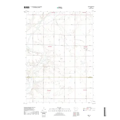
2018 Map of Webb
USGS Topo · Published 2018About this map
Webb anchors the northeastern portion of this Clay County landscape, where the town's grid meets the surrounding agricultural expanse. The area's geography is defined by the winding course of the Little Sioux River as it cuts through the western sections, joined by tributaries such as Willow Cr and Montgomery Cr. This drainage pattern has influenced the placement of rural landmarks and the alignment of the sectional road grid. Genealogy researchers will find several significant burial sites across the township, including Burr Oak Cem and Osborn Cem, both situated near the central drainage areas. The map clearly delineates the administrative boundary at Co Line Rd, marking the transition between Clay County and Buena Vista County to the south. This transition is underscored by the shift in road designations like Co Hwy M54 and Thomas St, which connect the isolated farmsteads across the prairie.
Find a feature on this map
21 named features on this map. Tap any name to fly to it.
Don’t see what you’re looking for? This feature index may not catch every label — zoom into the map to look around manually.
Map Details
Editions of this 2018 Webb Map
This is the sole edition of this map. No revisions or reprints were ever made.
Other maps of this area

1954 · Fairmont
USGS Topo · 1:250,000

1954 · Fort Dodge
USGS Topo · 1:250,000

1957 · Fort Dodge
USGS Topo · 1:250,000

1958 · Fort Dodge
USGS Topo · 1:250,000

1958 · Fairmont
USGS Topo · 1:250,000

1966 · Gillett Grove
USGS Topo · 1:24,000

1966 · Greenville
USGS Topo · 1:24,000

1971 · Sioux Rapids SE
USGS Topo · 1:24,000

1971 · Albert City
USGS Topo · 1:24,000

1971 · Rembrandt
USGS Topo · 1:24,000