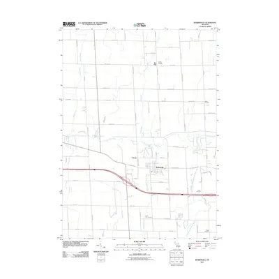
2011 Map of Webberville
USGS Topo · Published 2011About this map
Webberville serves as the primary hub in this mid-Michigan landscape, where the Red Cedar River and its various tributaries define the drainage of Handy Township. The map illustrates a developed rural grid where modern transportation corridors intersect with much older local landmarks. Of particular interest to genealogists are the numerous family and community burial sites scattered throughout the township, including the uniquely named In God We Trust Cemetery near Bell Oak and the Alchin Farm Cemetery located south of the main village. The hydrology is complex, with Kalamink Creek, Dietz Creek, and the West Branch Red Cedar River carving through the agricultural sections. These watercourses, alongside small named spans like Squaw Creek and Wolf Creek, have historically dictated the placement of farmsteads and road crossings in this part of Livingston County.
Find a feature on this map
70 named features on this map. Tap any name to fly to it.
Don’t see what you’re looking for? This feature index may not catch every label — zoom into the map to look around manually.
Map Details
Editions of this 2011 Webberville Map
This is the sole edition of this map. No revisions or reprints were ever made.
Other maps of this area

1908 · Fowlerville
USGS Topo · 1:62,500

1909 · Mason
USGS Topo · 1:62,500

1910 · Fowlerville
USGS Topo · 1:62,500

1911 · Mason
USGS Topo · 1:62,500

1926 · Corunna
USGS Topo · 1:62,500

1928 · Laingsburg
USGS Topo · 1:62,500

1929 · Corunna
USGS Topo · 1:62,500

1944 · Laingsburg
USGS Topo · 1:62,500

1944 · Corunna
USGS Topo · 1:62,500

1958 · Grand Rapids
USGS Topo · 1:250,000