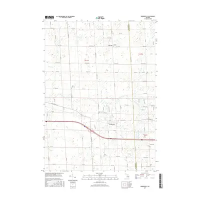
2017 Map of Webberville
USGS Topo · Published 2017About this map
Webberville serves as the central hub of this mid-Michigan landscape, situated where the Red Cedar River and its various tributaries like Dietz Cr and Kalamink Cr converge. The area is characterized by a dense network of small family and community burial grounds, including the Rowley Cem, Miller Cem, and the uniquely named In God We Trust Cem near Bell Oak. This concentration of small cemeteries alongside landmarks like the Alchin Farm Cem suggests a deeply rooted agricultural history and a settlement pattern defined by established farmsteads. The drainage of the land is meticulously documented through features like Bullet Drain and Sullivan Cr, illustrating the complex water management required for the region's fertile plains.
Find a feature on this map
88 named features on this map. Tap any name to fly to it.
Don’t see what you’re looking for? This feature index may not catch every label — zoom into the map to look around manually.
Map Details
Editions of this 2017 Webberville Map
This is the sole edition of this map. No revisions or reprints were ever made.
Other maps of this area

1908 · Fowlerville
USGS Topo · 1:62,500

1909 · Mason
USGS Topo · 1:62,500

1910 · Fowlerville
USGS Topo · 1:62,500

1911 · Mason
USGS Topo · 1:62,500

1926 · Corunna
USGS Topo · 1:62,500

1928 · Laingsburg
USGS Topo · 1:62,500

1929 · Corunna
USGS Topo · 1:62,500

1944 · Laingsburg
USGS Topo · 1:62,500

1944 · Corunna
USGS Topo · 1:62,500

1958 · Grand Rapids
USGS Topo · 1:250,000