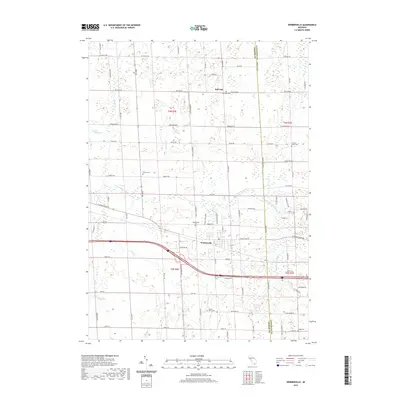
2019 Map of Webberville
USGS Topo · Published 2019About this map
Webberville serves as the primary hub of this landscape, situated along the historic path of E Grand River Rd and the more modern Interstate 96 corridor. The area is characterized by a dense network of watercourses, including the Red Cedar River and its W Br Red Cedar River, which weave through the agricultural surroundings of Handy Township. To the north, the small settlement of Bell Oak anchors a rural neighborhood defined by its namesake Bell Oak Cem.
Find a feature on this map
91 named features on this map. Tap any name to fly to it.
Don’t see what you’re looking for? This feature index may not catch every label — zoom into the map to look around manually.
Map Details
Editions of this 2019 Webberville Map
This is the sole edition of this map. No revisions or reprints were ever made.
Other maps of this area

1908 · Fowlerville
USGS Topo · 1:62,500

1909 · Mason
USGS Topo · 1:62,500

1910 · Fowlerville
USGS Topo · 1:62,500

1911 · Mason
USGS Topo · 1:62,500

1926 · Corunna
USGS Topo · 1:62,500

1928 · Laingsburg
USGS Topo · 1:62,500

1929 · Corunna
USGS Topo · 1:62,500

1944 · Laingsburg
USGS Topo · 1:62,500

1944 · Corunna
USGS Topo · 1:62,500

1958 · Grand Rapids
USGS Topo · 1:250,000