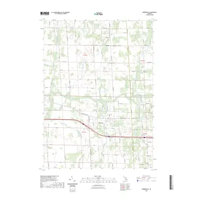
2023 Map of Webberville
USGS Topo · Published 2023About this map
The Webberville village center and the surrounding agricultural landscape of eastern Ingham County are the primary focus of this detailed 2023 survey. The terrain is defined by a complex drainage network, where the Red Cedar River and its many tributaries, such as Vermilion Creek, Wolf Creek, and Kalamink Creek, weave through a grid of rural roads and farmsteads. For those tracking local history, the map provides precise locations for several scattered burial grounds, including the Webberville Cem, Bell Oak Cem, and the family-associated Alchin Farm Cem. To the north, the small community of Bell Oak sits at the intersection of several key county roads. The abundance of engineered water features like Bullet Drain and Bullet Creek illustrates the long-standing efforts to manage the low-lying lands of the region for agriculture and modern development.
Find a feature on this map
89 named features on this map. Tap any name to fly to it.
Don’t see what you’re looking for? This feature index may not catch every label — zoom into the map to look around manually.
Map Details
Editions of this 2023 Webberville Map
This is the sole edition of this map. No revisions or reprints were ever made.
Other maps of this area

1908 · Fowlerville
USGS Topo · 1:62,500

1909 · Mason
USGS Topo · 1:62,500

1910 · Fowlerville
USGS Topo · 1:62,500

1911 · Mason
USGS Topo · 1:62,500

1926 · Corunna
USGS Topo · 1:62,500

1928 · Laingsburg
USGS Topo · 1:62,500

1929 · Corunna
USGS Topo · 1:62,500

1944 · Laingsburg
USGS Topo · 1:62,500

1944 · Corunna
USGS Topo · 1:62,500

1958 · Grand Rapids
USGS Topo · 1:250,000