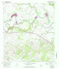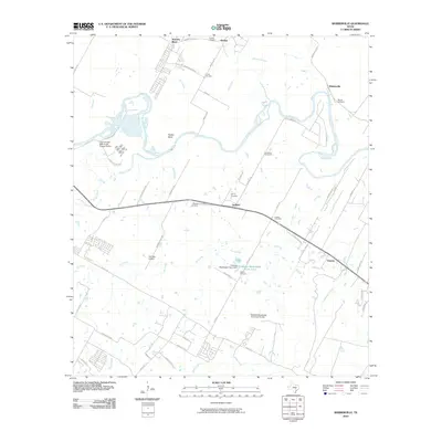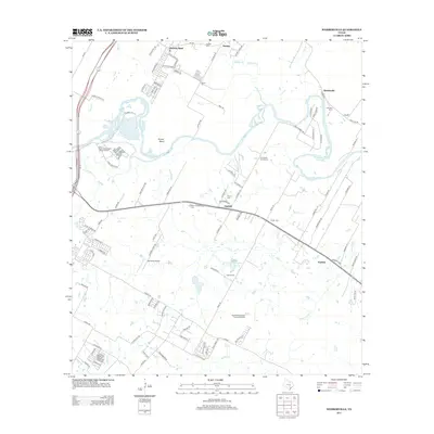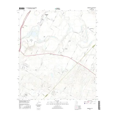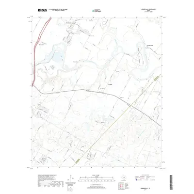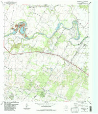
1987 Map of Webberville
USGS Topo · Published 1988About this map
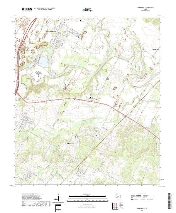
The Colorado River meanders through this Central Texas landscape, defining the boundaries between old riverbottom settlements and rising upland terrain. In the late 1980s, the area remained a blend of agricultural land and industrial utility, evidenced by the large Gravel Pit at Hornsby Bend and the Garfield Pumping Sta to the south. The map captures a high density of family and historic burial sites, including the Comanche Cemeteries near the river and Puckett Cem further north.
Find a feature on this map
45 named features on this map. Tap any name to fly to it.
Don’t see what you’re looking for? This feature index may not catch every label — zoom into the map to look around manually.
Map Details
Editions of this 1987 Webberville Map
This is the sole edition of this map. No revisions or reprints were ever made.
Historical Maps of Austin Through Time
7 maps found