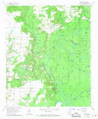
1967 Map of Weber
USGS Topo · Published 1968About this map
La Grue and the surrounding Arkansas lowlands are defined by an intricate network of waterways and ridges as they appeared in the late 1960s. The landscape transitions from the agricultural clearings of Point De Luce and the Chester boundary into the dense wetlands of the White River National Wildlife Refuge. The serpentine path of La Grue Bayou dominates the central terrain, flanked by significant landmarks like Mays Bluff and Sheppard Point. This survey captures a specific era of land use where isolated settlements like Weber and Deluce served as local hubs amidst a labyrinth of bayous and sloughs.
Find a feature on this map
46 named features on this map. Tap any name to fly to it.
Don’t see what you’re looking for? This feature index may not catch every label — zoom into the map to look around manually.
Map Details
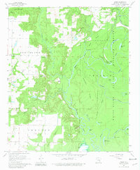
Editions of this 1967 Weber Map
2 editions found
Other maps of this area

1935 · Gillett
USGS Topo · 1:62,500

1939 · Indian Bay
USGS Topo · 1:62,500

1939 · Henrico
USGS Topo · 1:62,500

1941 · De Witt
USGS Topo · 1:62,500

1948 · Helena
USGS Topo · 1:250,000

1950 · Helena
USGS Topo · 1:250,000

1954 · Indian Bay
USGS Topo · 1:62,500

1954 · De Witt
USGS Topo · 1:62,500

1954 · Henrico
USGS Topo · 1:62,500

1955 · Helena
USGS Topo · 1:250,000