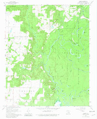
1967 Map of Weber
USGS Topo · Published 1981About this map
White River National Wildlife Refuge dominates the eastern landscape of this Arkansas County survey, showcasing a complex wetland ecosystem defined by the meandering La Grue Bayou and Essex Bayou. This 1960s environment is characterized by dense ridges such as Briar Ridge and Hickory Ridge, which stand as higher ground amidst a labyrinth of oxbow lakes including Eagle Nest Lake, Moon Lakes, and Wolf Lake.
Find a feature on this map
46 named features on this map. Tap any name to fly to it.
Don’t see what you’re looking for? This feature index may not catch every label — zoom into the map to look around manually.
Map Details
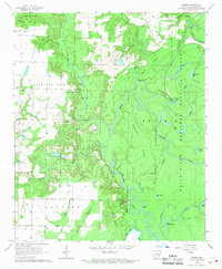
Editions of this 1967 Weber Map
2 editions found
Other maps of this area

1935 · Gillett
USGS Topo · 1:62,500

1939 · Indian Bay
USGS Topo · 1:62,500

1939 · Henrico
USGS Topo · 1:62,500

1941 · De Witt
USGS Topo · 1:62,500

1948 · Helena
USGS Topo · 1:250,000

1950 · Helena
USGS Topo · 1:250,000

1954 · Indian Bay
USGS Topo · 1:62,500

1954 · De Witt
USGS Topo · 1:62,500

1954 · Henrico
USGS Topo · 1:62,500

1955 · Helena
USGS Topo · 1:250,000