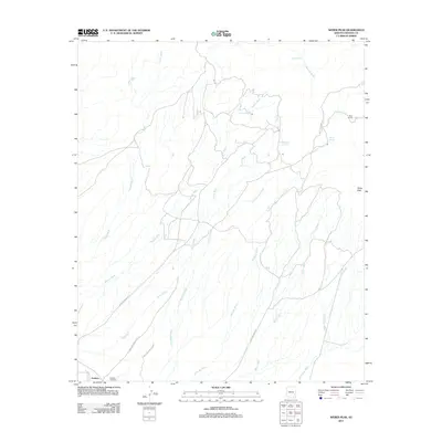
2011 Map of Weber Peak
USGS Topo · Published 2011About this map
Graham and the nearby Graham Cemetery anchor the southwestern corner of this drainage landscape in Graham County. The terrain is defined by a dense network of seasonal watercourses, including Coyote Wash, Watson Wash, and Peterson Wash, which descend from the high ground near Weber Peak. These washes illustrate the complex natural irrigation and erosion patterns typical of the region's arid environment.
Find a feature on this map
21 named features on this map. Tap any name to fly to it.
Don’t see what you’re looking for? This feature index may not catch every label — zoom into the map to look around manually.
Map Details
Editions of this 2011 Weber Peak Map
This is the sole edition of this map. No revisions or reprints were ever made.
Other maps of this area

1954 · Silver City
USGS Topo · 1:250,000

1954 · Clifton
USGS Topo · 1:250,000

1957 · Clifton
USGS Topo · 1:250,000
1958 · Silver City
USGS Topo · 1:250,000

1958 · Clifton
USGS Topo · 1:250,000
1960 · Thatcher
USGS Topo · 1:62,500
1960 · Fort Thomas
USGS Topo · 1:62,500
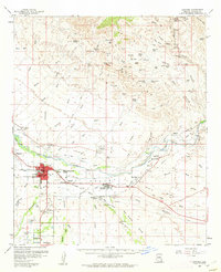
1960 · Safford
USGS Topo · 1:62,500
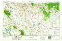
1962 · Silver City
USGS Topo · 1:250,000
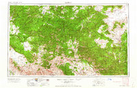
1962 · Clifton
USGS Topo · 1:250,000