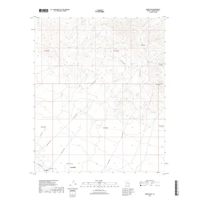
2018 Map of Weber Peak
USGS Topo · Published 2018About this map
The northern reaches of Safford and the rural settlement of Graham anchor this landscape where the high desert meets the Gila Mountains. The terrain is defined by a network of drainage systems including Peterson Wash, Wilson Wash, and Lone Star Wash, which cut through the dry foothills south of Weber Peak. This area is characterized by scattered water sources that were vital to local ranching and transit, such as Walnut Springs, Huckleberry Spring, and Cottonwood Spring.
Find a feature on this map
27 named features on this map. Tap any name to fly to it.
Don’t see what you’re looking for? This feature index may not catch every label — zoom into the map to look around manually.
Map Details
Editions of this 2018 Weber Peak Map
This is the sole edition of this map. No revisions or reprints were ever made.
Other maps of this area

1954 · Silver City
USGS Topo · 1:250,000

1954 · Clifton
USGS Topo · 1:250,000

1957 · Clifton
USGS Topo · 1:250,000

1958 · Silver City
USGS Topo · 1:250,000

1958 · Clifton
USGS Topo · 1:250,000

1960 · Thatcher
USGS Topo · 1:62,500

1960 · Fort Thomas
USGS Topo · 1:62,500

1960 · Safford
USGS Topo · 1:62,500

1962 · Silver City
USGS Topo · 1:250,000

1962 · Clifton
USGS Topo · 1:250,000