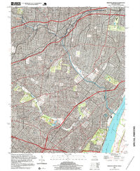
1998 Map of Webster Groves
USGS Topo · Published 1999About this map
The Mississippi River defines the eastern boundary of this highly developed suburban corridor during the late 1990s. The landscape is characterized by a dense residential and commercial street grid that fills the spaces between natural drainage systems like Deer Creek and Gravois Creek. While the physical terrain was largely fixed by the mid-20th century, this 1998 revision illustrates the intense maturation of the St. Louis metropolitan area. The map shows the dense concentration of infrastructure typical of this era, where older township and range lines like T 45 N T 44 N and R 6 E persist beneath the modern urban fabric. This survey is particularly useful for tracking the evolution of neighborhood boundaries and local waterways as they were integrated into the 20th-century built environment.
Find a feature on this map
7 named features on this map. Tap any name to fly to it.
Don’t see what you’re looking for? This feature index may not catch every label — zoom into the map to look around manually.
Map Details
Editions of this 1998 Webster Groves Map
2 editions found
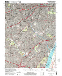
Other maps of this area

1888 · St. Louis
USGS Topo · 1:62,500

1910 · Waterloo
USGS Topo · 1:62,500

1912 · Kimmswick
USGS Topo · 1:62,500

1913 · Waterloo
USGS Topo · 1:62,500

1916 · Kimmswick
USGS Topo · 1:62,500

1933 · Creve Coeur
USGS Topo · 1:24,000

1933 · Granite City
USGS Topo · 1:24,000

1933 · Jefferson Barracks
USGS Topo · 1:24,000

1933 · Cahokia
USGS Topo · 1:24,000

1933 · Clayton
USGS Topo · 1:24,000