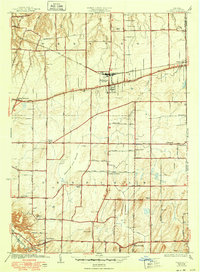
1934 Map of Webster
USGS Topo · Published 1950About this map
The village of Webster serves as a primary hub on this survey, situated along the storied Ridge Road and the New York Central railroad line. The landscape in the early 1930s is characterized by an extensive network of school districts, including School No 10, School No 5, and School No 13, which anchor the surrounding rural communities of West Webster and Roseland. Toward the south, the terrain gives way to the expansive Thousand Acre Swamp, a significant natural feature that separates the northern agricultural and commercial corridor from the developing settlements of Penfield and Penfield Center.
Find a feature on this map
76 named features on this map. Tap any name to fly to it.
Don’t see what you’re looking for? This feature index may not catch every label — zoom into the map to look around manually.
Map Details
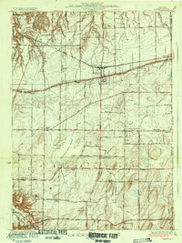
Editions of this 1934 Webster Map
3 editions found

Other maps of this area

1895 · Rochester
USGS Topo · 1:62,500

1895 · Ontario Beach
USGS Topo · 1:62,500

1898 · Rochester
USGS Topo · 1:62,500

1899 · Ontario Beach
USGS Topo · 1:62,500

1900 · Macedon
USGS Topo · 1:62,500

1912 · Rochester
USGS Topo · 1:62,500

1912 · Ontario Beach
USGS Topo · 1:62,500

1920 · Rochester
USGS Topo · 1:62,500

1931 · Mendon Ponds
USGS Topo · 1:24,000

1931 · Rochester East
USGS Topo · 1:24,000