
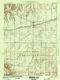
1934 Map of Webster
USGS Topo · Published 1934About this map
Webster and the surrounding townships of Monroe County are depicted here in the early 1930s, showing a transition from dense agricultural orchard land to an organized rural grid. The landscape is dominated by the Thousand Acre Swamp at its center and the drainage patterns of Ninemile Creek flowing north toward the lake. A network of numbered schoolhouses, such as School No 10 and School No 5, reveals the decentralized educational structure of the era, serving local farming families long before modern consolidation.
Find a feature on this map
35 named features on this map. Tap any name to fly to it.
Don’t see what you’re looking for? This feature index may not catch every label — zoom into the map to look around manually.
Map Details
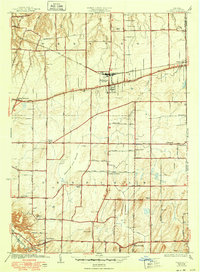
Editions of this 1934 Webster Map
3 editions found
Other maps of this area

1895 · Rochester
USGS Topo · 1:62,500

1895 · Ontario Beach
USGS Topo · 1:62,500

1898 · Rochester
USGS Topo · 1:62,500

1899 · Ontario Beach
USGS Topo · 1:62,500

1900 · Macedon
USGS Topo · 1:62,500

1912 · Rochester
USGS Topo · 1:62,500

1912 · Ontario Beach
USGS Topo · 1:62,500

1920 · Rochester
USGS Topo · 1:62,500

1931 · Mendon Ponds
USGS Topo · 1:24,000

1931 · Rochester East
USGS Topo · 1:24,000