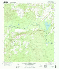
1973 Map of Weches
USGS Topo · Published 1977About this map
Mission Tejas State Park and the deep woods of the Davy Crockett National Forest anchor this survey of the East Texas pineywoods. The landscape is defined by the winding course of the Neches River, which forms a complex network of oxbows and swampy lowlands including Duren Lake, Forman Lake, and the Chain of Lakes. This topography supported a timber-driven economy, evidenced by the Old Railroad Grade and Sawmill Lake. Settlements like Weches and the distinctively named Weeping Mary are joined by sites of local heritage such as St Thomas Chapel and the Easley Cem. The presence of the Indian Mound Nursery and the Neches Bluff Overlook highlights a region where conservation efforts and historical landmarks overlap within the dense forest canopy.
Find a feature on this map
46 named features on this map. Tap any name to fly to it.
Don’t see what you’re looking for? This feature index may not catch every label — zoom into the map to look around manually.
Map Details
Editions of this 1973 Weches Map
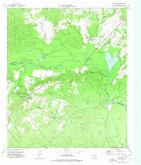
2 editions found
Other maps of this area

1946 · Alto
USGS Topo · 1:62,500

1950 · Crockett NE
USGS Topo · 1:24,000

1950 · Kennard NE
USGS Topo · 1:24,000

1950 · Ratcliff
USGS Topo · 1:24,000

1951 · Crockett NE
USGS Topo · 1:24,000

1951 · Kennard NE
USGS Topo · 1:24,000

1951 · Ratcliff
USGS Topo · 1:24,000

1952 · Slocum
USGS Topo · 1:62,500

1953 · Palestine
USGS Topo · 1:250,000

1957 · Palestine
USGS Topo · 1:250,000