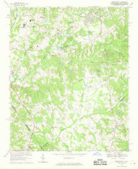
1968 Map of Weddington
USGS Topo · Published 1970About this map
Olde Providence and the rolling suburban fringe south of Charlotte define this 1960s landscape, captured just as residential developments and leisure facilities began to displace older agricultural patterns. The topography is dominated by the dendritic drainage of McAlpine Creek and Sixmile Creek, which flow toward the North Carolina and South Carolina border. Several country clubs, including the Quail Hollow Country Club and Carmel Country Club, mark the shift toward suburban recreation, while institutional anchors like South Mecklenburg High Sch and Quail Hollow Jr High Sch suggest rapid community growth.
Find a feature on this map
55 named features on this map. Tap any name to fly to it.
Don’t see what you’re looking for? This feature index may not catch every label — zoom into the map to look around manually.
Map Details
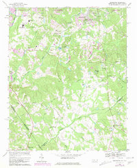
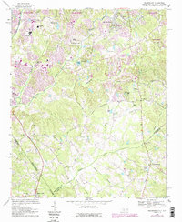
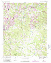
Editions of this 1968 Weddington Map
4 editions found
Other maps of this area

1905 · Charlotte
USGS Topo · 1:48,000

1907 · Charlotte
USGS Topo · 1:62,500

1941 · Charlotte
USGS Topo · 1:125,000

1941 · Spartanburg
USGS Topo · 1:250,000

1942 · Charlotte
USGS Topo · 1:125,000

1948 · Charlotte East
USGS Topo · 1:24,000

1948 · Charlotte West
USGS Topo · 1:24,000

1949 · Charlotte West
USGS Topo · 1:24,000

1949 · Charlotte East
USGS Topo · 1:24,000

1949 · Wilgrove
USGS Topo · 1:24,000