Loading...
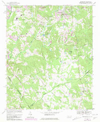
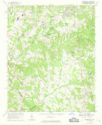
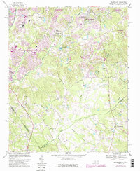
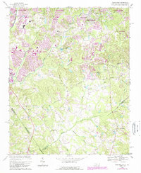
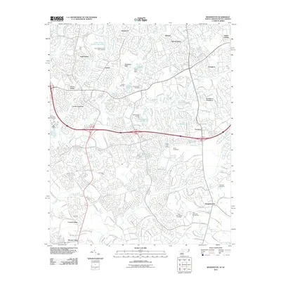
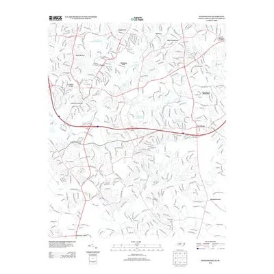
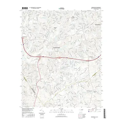
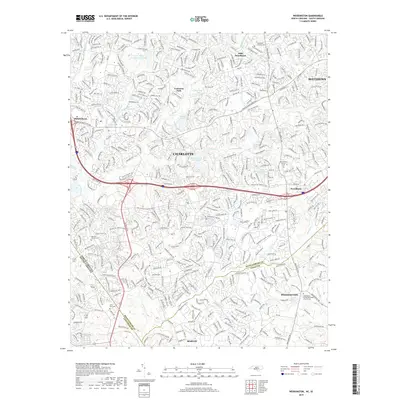
Loading map...1968 Map of Weddington
USGS Topo · Published 1981About this map
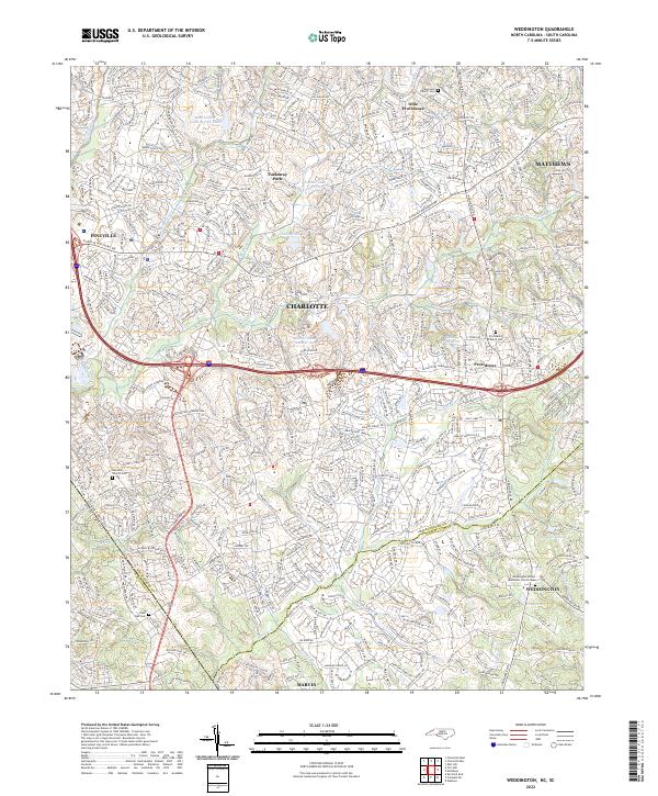
McAlpine Creek and Fourmile Creek carve through the landscape south of Charlotte during a period of significant suburban expansion. This 1968 survey, photorevised in 1980, captures the transformation of rural Union and Mecklenburg Counties into residential corridors. Cultural landmarks like the Providence Ch and Harrison Ch anchor established communities, while the growth of educational infrastructure is evident at South Mecklenburg High Sch.
Find a feature on this map
68 named features on this map. Tap any name to fly to it.
Don’t see what you’re looking for? This feature index may not catch every label — zoom into the map to look around manually.
Map Details
Date Portrayed1968
Date Published1981
PublisherU.S. Geological Survey
Map TypeTopographic
Scale1:24,000
Physical Dimensions21.8 x 26.8 inches
Editions of this 1968 Weddington Map
4 editions found
Historical Maps of Charlotte Through Time
6 maps found
Featured Locations
Source Details
SourceU.S. Geological Survey
CopyrightPublic Domain