
1943 Map of Weeks Bay
USGS Topo · Published 1943About this map
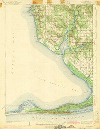
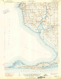
The coastal interface of Mobile Bay and the Gulf Of Mexico defines this 1943 survey, which captures the Baldwin County shoreline during the early 1940s. Inland, the Fish River and Magnolia River snake through the landscape, feeding into Weeks Bay before reaching the broader expanse of Bon Secour Bay. The map reveals a transition from the established coastal landings like Great Point Clear and Battles Wharf to the developing interior settlements of Barnwell and Magnolia Springs.
Find a feature on this map
79 named features on this map. Tap any name to fly to it.
Don’t see what you’re looking for? This feature index may not catch every label — zoom into the map to look around manually.
Map Details
Editions of this 1943 Weeks Bay Map
3 editions found
Other maps of this area

1920 · Robertsdale
USGS Topo · 1:62,500

1921 · Bon Secour
USGS Topo · 1:62,500

1921 · Point Clear
USGS Topo · 1:62,500

1921 · Fairhope
USGS Topo · 1:62,500

1921 · Dauphin Island
USGS Topo · 1:62,500

1921 · Delchamps
USGS Topo · 1:62,500

1922 · Mobile
USGS Topo · 1:62,500

1939 · Daphne
USGS Topo · 1:31,680

1940 · Silverhill
USGS Topo · 1:31,680

1940 · Hollingers Island
USGS Topo · 1:31,680