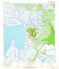
1963 Map of Weeks
USGS Topo · Published 1964About this map
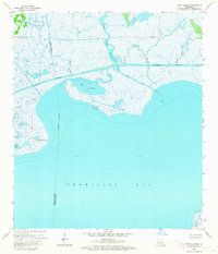
Weeks Island dominates this 1963 survey of the Louisiana coast, rising as a distinct topographical anomaly out of the surrounding wetlands and marshes. This salt dome landscape is defined by the Weeks Island Oil and Gas Field, showing a complex network of industrial infrastructure, storage areas, and the small settlement of Weeks. The map captures the coastal transition between Weeks Bay and Vermilion Bay, where the Intracoastal Waterway cuts through a labyrinth of natural drainage like Bayou Carlin and Bayou Patout. To the southeast, the community of Cypremort (Louisa PO) sits along the Southern Pacific rail line, serving as a hub for the local maritime and agricultural economy. The presence of Sandy Bottom Pond and Plantation Lake on the island itself illustrates the unique interior hydrology of these coastal domes.
Find a feature on this map
26 named features on this map. Tap any name to fly to it.
Don’t see what you’re looking for? This feature index may not catch every label — zoom into the map to look around manually.
Map Details
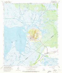
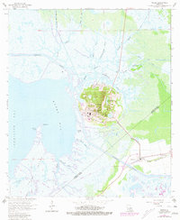
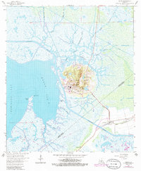
Editions of this 1963 Weeks Map
4 editions found
Other maps of this area

1937 · Bayou Sale
USGS Topo · 1:62,500

1937 · Jeanerette
USGS Topo · 1:62,500

1937 · Derouen
USGS Topo · 1:62,500

1945 · New Orleans
USGS Topo · 1:250,000

1948 · Cypremort Point
USGS Topo · 1:24,000

1949 · Cypremort Pt
USGS Topo · 1:31,680

1954 · Jeanerette
USGS Topo · 1:62,500

1957 · Bayou Sale
USGS Topo · 1:62,500

1963 · New Orleans
USGS Topo · 1:250,000
1963 · Tigre Lagoon
USGS Topo · 1:24,000