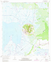
1963 Map of Weeks
USGS Topo · Published 1981About this map
Weeks Island dominates the landscape of this coastal survey, rising as a salt dome above the surrounding marshlands of Iberia and St. Mary Parishes. The map documents a highly engineered environment where the petroleum industry and transportation networks intersect with the Acadian wetlands. The Weeks Island Oil and Warehouse Gas Field and the Weeks Island Oil and Gas Field reveal an extensive industrial footprint, including numerous storage tanks and processing facilities connected by the Southern Pacific railroad line and the Intracoastal Waterway.
Find a feature on this map
36 named features on this map. Tap any name to fly to it.
Don’t see what you’re looking for? This feature index may not catch every label — zoom into the map to look around manually.
Map Details
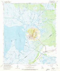
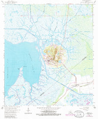
Editions of this 1963 Weeks Map
4 editions found
Other maps of this area

1937 · Bayou Sale
USGS Topo · 1:62,500

1937 · Jeanerette
USGS Topo · 1:62,500

1937 · Derouen
USGS Topo · 1:62,500

1945 · New Orleans
USGS Topo · 1:250,000

1948 · Cypremort Point
USGS Topo · 1:24,000

1949 · Cypremort Pt
USGS Topo · 1:31,680

1954 · Jeanerette
USGS Topo · 1:62,500

1957 · Bayou Sale
USGS Topo · 1:62,500

1963 · New Orleans
USGS Topo · 1:250,000
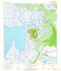
1963 · Weeks
USGS Topo · 1:24,000