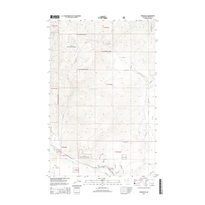
2014 Map of Weeksville
USGS Topo · Published 2014About this map
Clark Fork winds along the southern boundary of this Sanders County landscape, providing the primary hydrologic anchor for the small settlement of Weeksville. The area is characterized by the significant presence of the Lolo National Forest, which covers much of the north and west. This 2014 survey reveals a network of rural routes and family-named roads that suggest a history of ranching and land management, including Jones Ranch Rd and Buffalo Bill Rd.
Find a feature on this map
45 named features on this map. Tap any name to fly to it.
Don’t see what you’re looking for? This feature index may not catch every label — zoom into the map to look around manually.
Map Details
Editions of this 2014 Weeksville Map
This is the sole edition of this map. No revisions or reprints were ever made.
Other maps of this area

1918 · St Regis
USGS Topo · 1:125,000

1919 · St. Regis
USGS Topo · 1:125,000

1937 · Thompson Falls
USGS Topo · 1:125,000

1956 · St Regis
USGS Topo · 1:62,500

1956 · Wallace
USGS Topo · 1:250,000

1959 · Plains
USGS Topo · 1:62,500

1960 · Wallace
USGS Topo · 1:250,000

1964 · Calico Creek
USGS Topo · 1:24,000
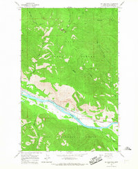
1964 · Big Hole Peak
USGS Topo · 1:24,000

1964 · Coney Peak
USGS Topo · 1:24,000