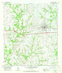
1965 Map of Weimar
USGS Topo · Published 1967About this map
The Southern Pacific railroad corridor serves as the industrial and social backbone for this mid-1960s portrait of Colorado and Fayette Counties. The town of Weimar dominates the eastern portion of the sheet, showing a concentrated grid of streets, St Michaels Sch, and an Athletic Field. To the west and south, the landscape opens into a patchwork of rural farmsteads and creek drainages, including the winding East Navidad River and Middle Creek.
Find a feature on this map
34 named features on this map. Tap any name to fly to it.
Don’t see what you’re looking for? This feature index may not catch every label — zoom into the map to look around manually.
Map Details
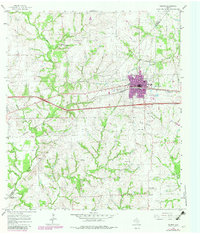
Editions of this 1965 Weimar Map
2 editions found
Other maps of this area

1919 · Fayettsville
USGS Topo · 1:62,500

1919 · Schulenburg
USGS Topo · 1:62,500

1953 · Seguin
USGS Topo · 1:250,000

1956 · Glidden
USGS Topo · 1:62,500

1956 · La Grange
USGS Topo · 1:62,500

1957 · Ellinger
USGS Topo · 1:24,000

1957 · Borden
USGS Topo · 1:24,000

1957 · Ammannsville
USGS Topo · 1:24,000

1958 · Seguin
USGS Topo · 1:250,000

1965 · Oakland
USGS Topo · 1:24,000