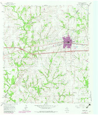
1965 Map of Weimar
USGS Topo · Published 1982About this map
The town of Weimar serves as the focal point of this South Texas landscape, situated along the Southern Pacific rail line during the mid-1960s. The map illustrates a settled agricultural region defined by several significant watercourses, including the East Fork Navidad River and Clear Creek. The area's social fabric is evidenced by numerous country churches and schools, such as St Cyril Ch and the St Michaels Sch near Dubina. Local family history and genealogy are well-represented by several smaller burial grounds, including Boer Cem and Hehr Cem.
Find a feature on this map
30 named features on this map. Tap any name to fly to it.
Don’t see what you’re looking for? This feature index may not catch every label — zoom into the map to look around manually.
Map Details
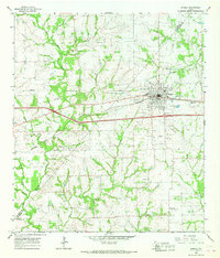
Editions of this 1965 Weimar Map
2 editions found
Other maps of this area

1919 · Fayettsville
USGS Topo · 1:62,500

1919 · Schulenburg
USGS Topo · 1:62,500

1953 · Seguin
USGS Topo · 1:250,000

1956 · Glidden
USGS Topo · 1:62,500

1956 · La Grange
USGS Topo · 1:62,500

1957 · Ellinger
USGS Topo · 1:24,000

1957 · Borden
USGS Topo · 1:24,000

1957 · Ammannsville
USGS Topo · 1:24,000

1958 · Seguin
USGS Topo · 1:250,000

1965 · Oakland
USGS Topo · 1:24,000