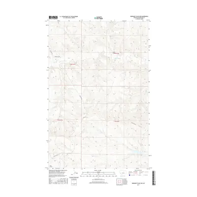
2017 Map of Weingart Place NW
USGS Topo · Published 2017About this map
The Sacagawea River winds through this expanse of Petroleum County, carving a distinct path through the dry breaks of central Montana. The landscape is defined by its deep drainages and coulees, including Hanson Coulee and Spring Coulee in the north, while Lane Coulee and the headwaters of Drag Cr mark the southern reaches. This modern topographical study captures a rugged ranching and hunting territory where human presence is mostly limited to primitive routes like Horse Camp Trl and the winding path of Crooked Creek Rd. The map illustrates a high-desert terrain shaped by seasonal water flow, providing a clear record of the area's physical geography and the sparse network of tracks used by those navigating this part of the Missouri River watershed.
Find a feature on this map
11 named features on this map. Tap any name to fly to it.
Don’t see what you’re looking for? This feature index may not catch every label — zoom into the map to look around manually.
Map Details
Editions of this 2017 Weingart Place NW Map
This is the sole edition of this map. No revisions or reprints were ever made.
Other maps of this area

1954 · Lewistown
USGS Topo · 1:250,000

1959 · Lewistown
USGS Topo · 1:250,000

1965 · Dry Coulee
USGS Topo · 1:24,000

1965 · Chain Buttes
USGS Topo · 1:24,000
1965 · Weingart Place
USGS Topo · 1:24,000

1965 · Weingart Place NW
USGS Topo · 1:24,000

1971 · Hanson Flat
USGS Topo · 1:24,000

1984 · Zortman
USGS Topo · 1:100,000
1985 · Kirkendal Flat
USGS Topo · 1:24,000

1985 · Brown Spring
USGS Topo · 1:24,000