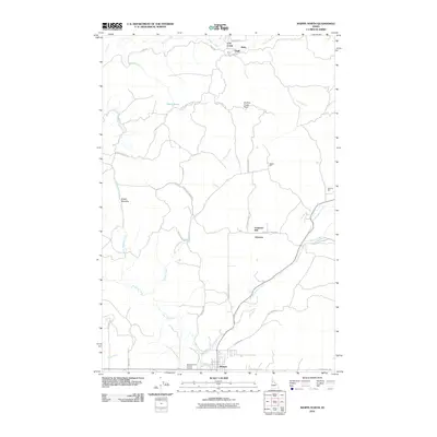
2010 Map of Weippe North
USGS Topo · Published 2010About this map
Weippe anchors the southern edge of this Idaho landscape, where the open spaces of the Weippe Prairie Point of Interest meet a complex network of timber and drainage routes. The area is defined by its small settlements and industrial heritage, particularly the logging or milling operations indicated by Battles Mill, Johnsons Mill, and McCann Mill. These sites are linked by a rugged road system, including Omill Rd and Upper Fords Cr Rd, which follow the contours of the land above Orofino Creek and its many tributaries.
Find a feature on this map
40 named features on this map. Tap any name to fly to it.
Don’t see what you’re looking for? This feature index may not catch every label — zoom into the map to look around manually.
Map Details
Editions of this 2010 Weippe North Map
This is the sole edition of this map. No revisions or reprints were ever made.
Other maps of this area

1923 · Washington Creek
USGS Topo · 1:125,000

1924 · Kamiah
USGS Topo · 1:125,000

1924 · Weippe
USGS Topo · 1:125,000

1938 · Headquarters
USGS Topo · 1:48,000

1944 · Headquarters
USGS Topo · 1:62,500

1955 · Pullman
USGS Topo · 1:250,000

1956 · Hamilton
USGS Topo · 1:250,000

1958 · Pullman
USGS Topo · 1:250,000

1959 · Hamilton
USGS Topo · 1:250,000

1960 · Hamilton
USGS Topo · 1:250,000