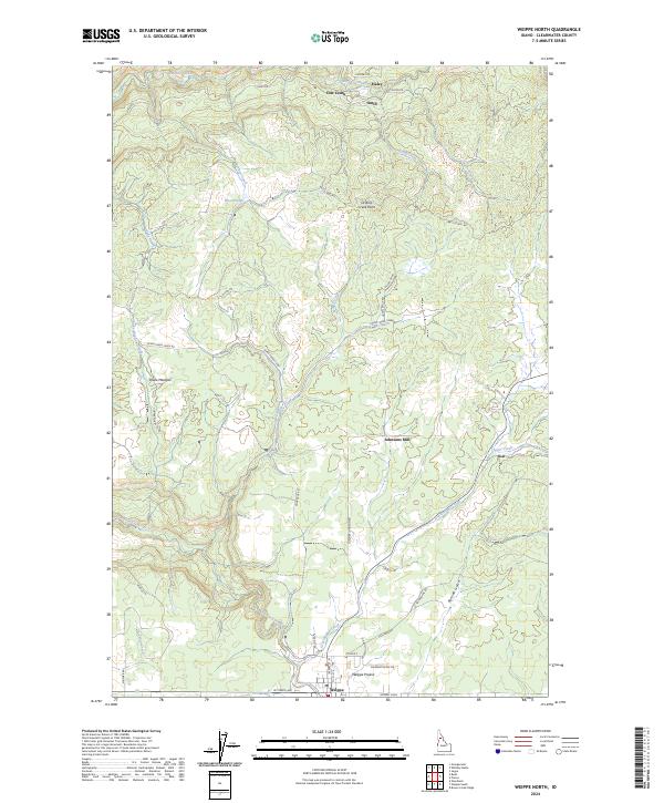
2024 Map of Weippe North
USGS Topo · Published 2024About this map
Weippe serves as the focal point of this Clearwater County landscape, situated where the Weippe Prairie meets a network of timbered ridges and creek valleys. The area is defined by a historical dependence on the land, visible in the namesake Johnsons Mill and the presence of small settlements like Haley and Omill. A complex web of local roads, such as Battles Mill Rd and Winter Cr Rd, winds through the high country, connecting isolated points like Orofino Creek Point and the low-lying Snake Meadow. Waterways including Orofino Creek, Jim Ford Creek, and Grasshopper Creek carve the terrain, dictating the early paths of travel and habitation. The presence of Mussell Shell at the southern edge of the prairie provides a specific landmark for those tracing the geographic history of this portion of northern Idaho.
Find a feature on this map
50 named features on this map. Tap any name to fly to it.
Don’t see what you’re looking for? This feature index may not catch every label — zoom into the map to look around manually.
Map Details
Editions of this 2024 Weippe North Map
This is the sole edition of this map. No revisions or reprints were ever made.
Other maps of this area

1923 · Washington Creek
USGS Topo · 1:125,000

1924 · Kamiah
USGS Topo · 1:125,000

1924 · Weippe
USGS Topo · 1:125,000

1938 · Headquarters
USGS Topo · 1:48,000

1944 · Headquarters
USGS Topo · 1:62,500

1955 · Pullman
USGS Topo · 1:250,000

1956 · Hamilton
USGS Topo · 1:250,000

1958 · Pullman
USGS Topo · 1:250,000

1959 · Hamilton
USGS Topo · 1:250,000

1960 · Hamilton
USGS Topo · 1:250,000