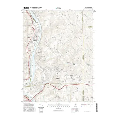
2016 Map of Weirton
USGS Topo · Published 2016About this map
The industrial and riverine character of the Northern Panhandle is on full display here, where the Ohio River carves a deep valley between West Virginia and Ohio. This area is dominated by the sprawling urban footprint of Weirton, which reaches from the riverside up into the complex terrain of Chestnut Hill and Weirton Heights. The map documents a dense network of infrastructure including the Robert Byrd Bridge and the Panhandle Rail-Trail, illustrating how the valley's geography has necessitated significant engineering to connect communities like Steubenville and Toronto.
Find a feature on this map
64 named features on this map. Tap any name to fly to it.
Don’t see what you’re looking for? This feature index may not catch every label — zoom into the map to look around manually.
Map Details
Editions of this 2016 Weirton Map
This is the sole edition of this map. No revisions or reprints were ever made.
Other maps of this area

1901 · Beaver
USGS Topo · 1:62,500

1904 · Wellsville
USGS Topo · 1:62,500

1904 · Steubenville
USGS Topo · 1:62,500

1904 · Beaver
USGS Topo · 1:62,500

1904 · Burgettstown
USGS Topo · 1:62,500

1906 · Burgettstown
USGS Topo · 1:62,500

1935 · Steubenville
USGS Topo · 1:62,500

1937 · Wellsville
USGS Topo · 1:62,500

1942 · Steubenville
USGS Topo · 1:62,500

1944 · Wellsville
USGS Topo · 1:62,500