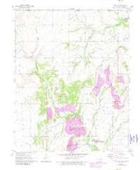
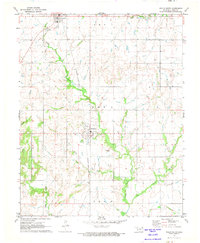
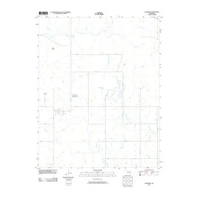
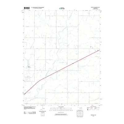
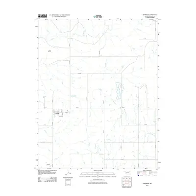
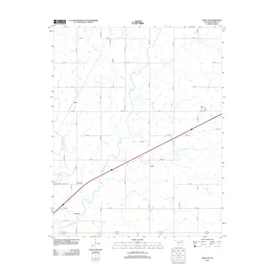
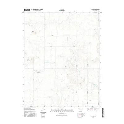
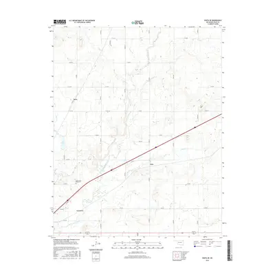
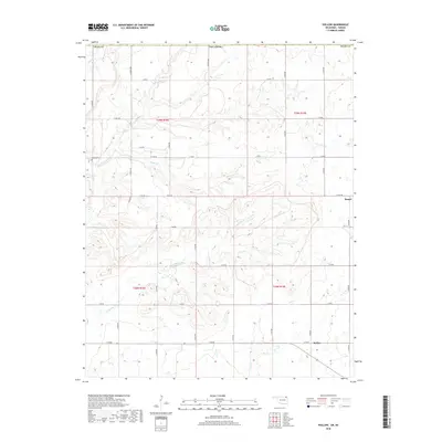
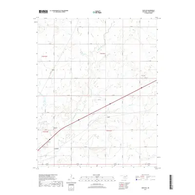
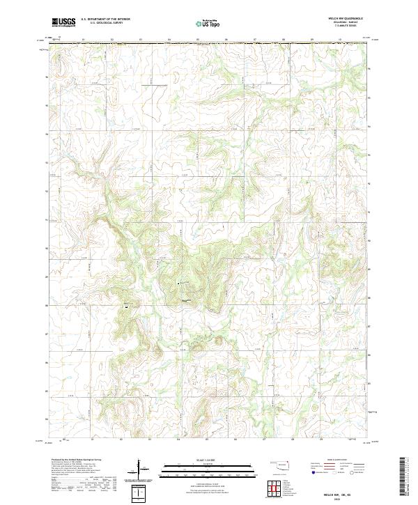
1971 Map of Welch NW
USGS Topo · Published 1982About this map
Big Cabin Creek and its many tributaries, including Russell Creek and Elm Creek, define the landscape of northern Oklahoma along the border with Kansas. This 1971 survey, updated through 1982, documents a period of significant land modification, specifically highlighting extensive Strip Mines and a large Gas Field. For the local historian or genealogist, the map preserves the location of the Rogers settlement and two distinct burial sites: Rogers Cem and Walker Cem. The topography is also marked by modern infrastructure like the Pipeline and a Landing Field, showing the transition from traditional rural farmstead patterns to an industrial energy landscape. The map specifically identifies several Gas Wells scattered across the township, illustrating the area's mid-century economic shift toward mineral extraction.
Find a feature on this map
23 named features on this map. Tap any name to fly to it.
Don’t see what you’re looking for? This feature index may not catch every label — zoom into the map to look around manually.
Map Details
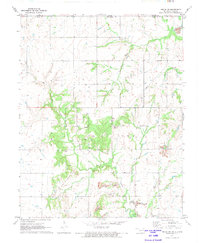
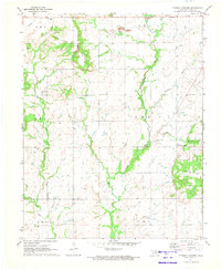
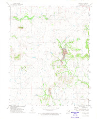
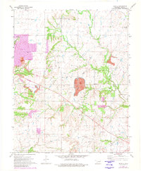
Editions of this 1971 Welch NW Map
2 editions found
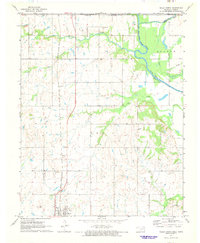
Historical Maps of Rogers Through Time
48 maps found
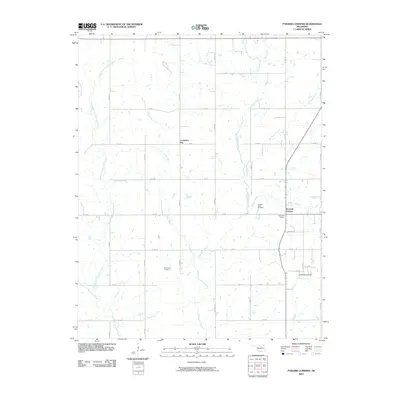
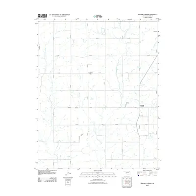
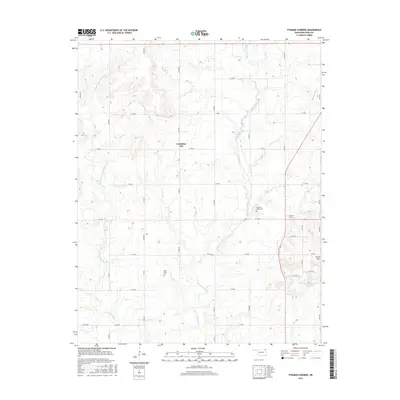
1971 Pyramid Corners
Craig County, OK

1971 Vinita NE
Craig County, OK
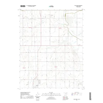
1971 Welch North
Craig County, OK
1971 Welch NW
Craig County, OK
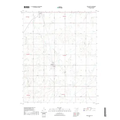
1971 Welch South
Craig County, OK
1972 Centralia
Craig County, OK
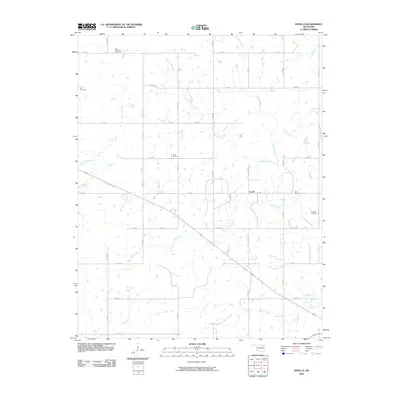
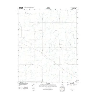
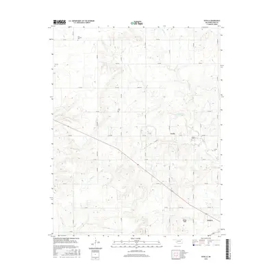
1972 Estella
Craig County, OK
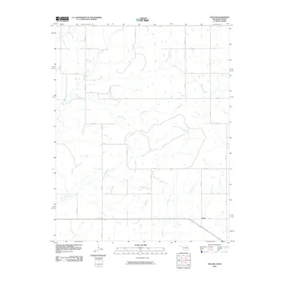
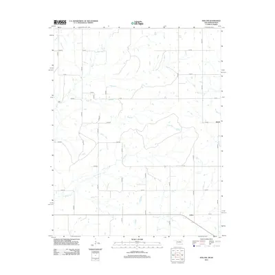
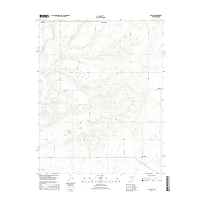
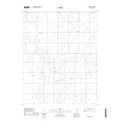
1972 Hollow
Craig County, OK
2010 Centralia
Craig County, OK
2010 Estella
Craig County, OK
2010 Hollow
Craig County, OK
2010 Pyramid Corners
Craig County, OK
2010 Vinita NE
Craig County, OK
2010 Welch North
Craig County, OK
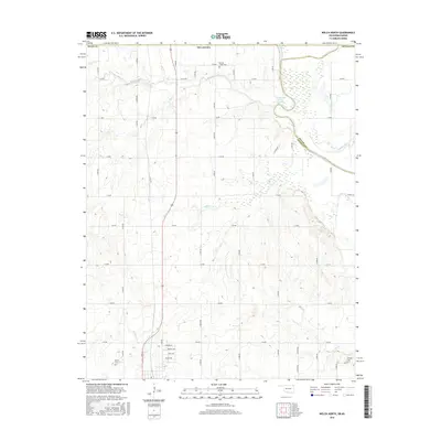
2010 Welch NW
Craig County, OK
2010 Welch South
Craig County, OK
2012 Centralia
Craig County, OK
2012 Estella
Craig County, OK
2012 Hollow
Craig County, OK
2012 Pyramid Corners
Craig County, OK
2012 Vinita NE
Craig County, OK
2012 Welch North
Craig County, OK
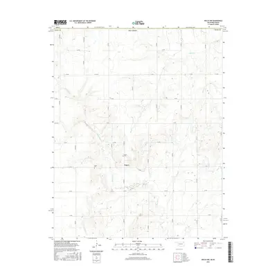
2012 Welch NW
Craig County, OK
2012 Welch South
Craig County, OK
2016 Centralia
Craig County, OK
2016 Estella
Craig County, OK
2016 Hollow
Craig County, OK
2016 Pyramid Corners
Craig County, OK
2016 Vinita NE
Craig County, OK
2016 Welch North
Craig County, OK
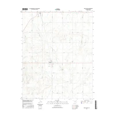
2016 Welch NW
Craig County, OK
2016 Welch South
Craig County, OK
2018 Hollow
Craig County, OK
2019 Centralia
Craig County, OK
2019 Estella
Craig County, OK
2019 Pyramid Corners
Craig County, OK
2019 Vinita NE
Craig County, OK
2019 Welch North
Craig County, OK
2019 Welch NW
Craig County, OK
2019 Welch South
Craig County, OK
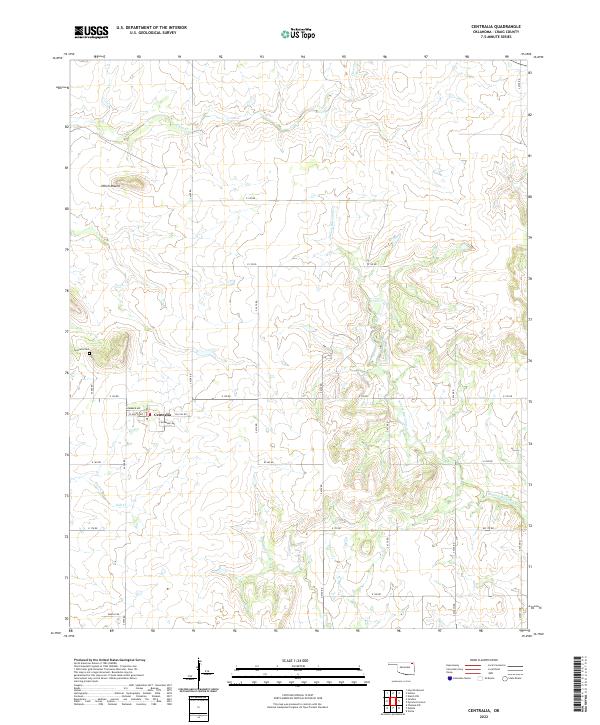
2022 Centralia
Craig County, OK
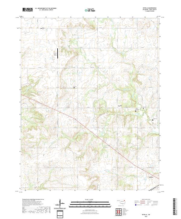
2022 Estella
Craig County, OK
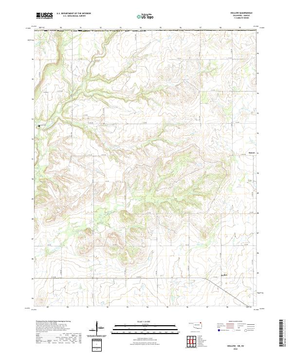
2022 Hollow
Craig County, OK
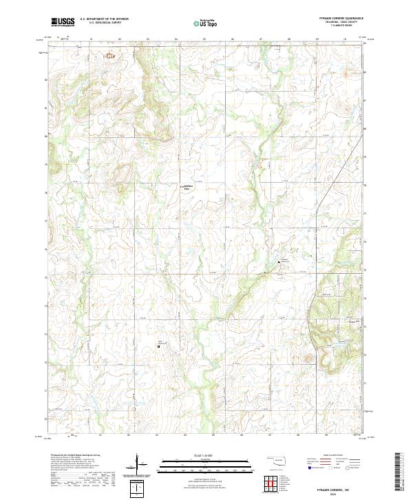
2022 Pyramid Corners
Craig County, OK
2022 Vinita NE
Craig County, OK
2022 Welch NW
Craig County, OK
2022 Welch South
Craig County, OK
2023 Welch North
Craig County, OK