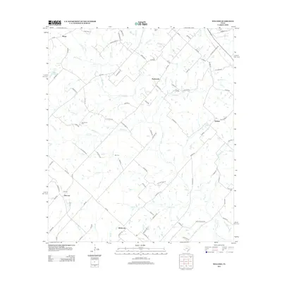
2013 Map of Welcome
USGS Topo · Published 2013About this map
Welcome and Bleiblerville anchor this rural landscape in Washington County, showing the persistent settlement patterns of this central Texas region. The geography is defined by a dense network of seasonal and perennial waterways, including E Mill Cr, Williams Cr, and Rocky Cr, which historically dictated the placement of roads and homesteads. Local history is preserved through scattered burial grounds like Salem Cem and Germania Cem, often located near crossroads and old family tracts. The map also documents the industrial presence of the Brenham Oil Field, indicating the importance of resource extraction alongside traditional farming. Smaller hamlets like Muellersville, Wehdem, and Klump are linked by a complex web of farm roads and family-named routes such as Adamek Rd and Dierking Rd, reflecting the generational landholdings of the area.
Find a feature on this map
96 named features on this map. Tap any name to fly to it.
Don’t see what you’re looking for? This feature index may not catch every label — zoom into the map to look around manually.
Map Details
Editions of this 2013 Welcome Map
This is the sole edition of this map. No revisions or reprints were ever made.
Other maps of this area

1919 · Fayettsville
USGS Topo · 1:62,500

1930 · Brenham
USGS Topo · 1:62,500

1953 · Seguin
USGS Topo · 1:250,000

1954 · Austin
USGS Topo · 1:250,000

1956 · Bellville
USGS Topo · 1:62,500

1956 · Brenham
USGS Topo · 1:62,500

1958 · Seguin
USGS Topo · 1:250,000

1958 · Industry
USGS Topo · 1:24,000

1958 · Greenvine
USGS Topo · 1:24,000

1958 · Burton
USGS Topo · 1:24,000