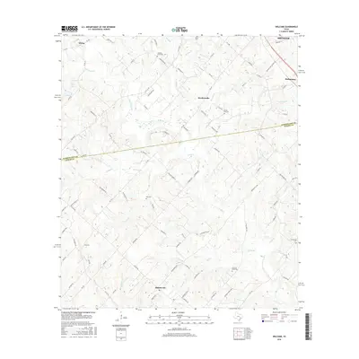
2016 Map of Welcome
USGS Topo · Published 2016About this map
The rolling prairies of the Washington Co and Austin Co border come to life in this detailed view of a rural landscape north of the Gulf Coast. The settlement pattern here is anchored by several small communities, most notably Bleiblerville and Welcome, which serve as focal points for a network of country roads like FM 109 and Kamas RD. The landscape is etched by a dense web of waterways, including East Mill Creek and Williams Cr, which drain the agricultural land between the clusters of family-named cemeteries and landmarks.
Find a feature on this map
97 named features on this map. Tap any name to fly to it.
Don’t see what you’re looking for? This feature index may not catch every label — zoom into the map to look around manually.
Map Details
Editions of this 2016 Welcome Map
This is the sole edition of this map. No revisions or reprints were ever made.
Other maps of this area

1919 · Fayettsville
USGS Topo · 1:62,500

1930 · Brenham
USGS Topo · 1:62,500

1953 · Seguin
USGS Topo · 1:250,000

1954 · Austin
USGS Topo · 1:250,000

1956 · Bellville
USGS Topo · 1:62,500

1956 · Brenham
USGS Topo · 1:62,500

1958 · Seguin
USGS Topo · 1:250,000

1958 · Industry
USGS Topo · 1:24,000

1958 · Greenvine
USGS Topo · 1:24,000

1958 · Burton
USGS Topo · 1:24,000