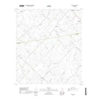
2019 Map of Welcome
USGS Topo · Published 2019About this map
Bleiblerville and the surrounding countryside of the Washington and Austin County line are defined by a complex network of creeks and small family cemeteries. This 2019 survey captures a landscape still rooted in its agricultural heritage, where the terrain is drained by numerous branches including E Mill Creek, Williams Creek, and Pecan Branch. The dispersal of rural settlements like Welcome, Klump, and Muellersville reflects the long-standing community hubs of central Texas. Genealogists will find significant value in the distribution of burial grounds across the area, from Scranton Grove Cemetery in the south to Salem Cemetery and Pleasant Grove Cemetery in the north. The winding path of FM 109 serves as a primary artery connecting these isolated pockets, while smaller landmarks like Tonn Lake and Phillipsburg help define the local geography at the edge of the Brenham area.
Find a feature on this map
98 named features on this map. Tap any name to fly to it.
Don’t see what you’re looking for? This feature index may not catch every label — zoom into the map to look around manually.
Map Details
Editions of this 2019 Welcome Map
This is the sole edition of this map. No revisions or reprints were ever made.
Other maps of this area
1919 · Fayettsville
USGS Topo · 1:62,500
1930 · Brenham
USGS Topo · 1:62,500

1953 · Seguin
USGS Topo · 1:250,000

1954 · Austin
USGS Topo · 1:250,000
1956 · Bellville
USGS Topo · 1:62,500
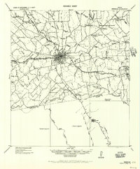
1956 · Brenham
USGS Topo · 1:62,500

1958 · Seguin
USGS Topo · 1:250,000
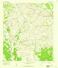
1958 · Industry
USGS Topo · 1:24,000
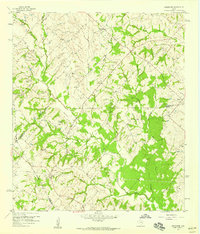
1958 · Greenvine
USGS Topo · 1:24,000
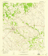
1958 · Burton
USGS Topo · 1:24,000