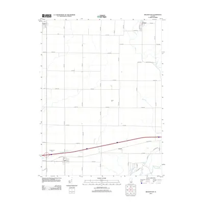
2012 Map of Weldon East
USGS Topo · Published 2012About this map
De Land and Cisco anchor this section of the Illinois prairie in the early 21st century, where a strictly ordered grid of township roads defines the agricultural landscape. The southern portion of the map is shaped by the winding course of the Sangamon River, which breaks the geometric regularity of the surrounding farmland. Near the river, recreational and water features such as Four H Lake and Arrowhead Lake provide a contrast to the vast acreage of corn and soybean fields.
Find a feature on this map
58 named features on this map. Tap any name to fly to it.
Don’t see what you’re looking for? This feature index may not catch every label — zoom into the map to look around manually.
Map Details
Editions of this 2012 Weldon East Map
This is the sole edition of this map. No revisions or reprints were ever made.
Other maps of this area

1929 · Decatur
USGS Topo · 1:62,500

1933 · Decatur
USGS Topo · 1:62,500

1937 · Monticello
USGS Topo · 1:48,000

1943 · Monticello
USGS Topo · 1:62,500

1955 · Bement
USGS Topo · 1:62,500

1957 · Maroa
USGS Topo · 1:62,500

1958 · Peoria
USGS Topo · 1:250,000

1958 · Decatur
USGS Topo · 1:250,000

1961 · Peoria
USGS Topo · 1:250,000

1961 · Decatur
USGS Topo · 1:250,000