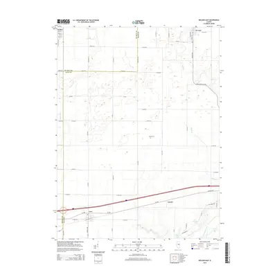
2015 Map of Weldon East
USGS Topo · Published 2015About this map
Cisco and De Land anchor this central Illinois landscape where the grid of rural section roads meets a network of vital waterways. The southern reaches of the map are defined by the winding course of the Sangamon River, accompanied by Arrowhead Lake and Four-H Lake. The drainage patterns across these agricultural plains are further illustrated by the presence of Friends Cr Ditch, Goose Cr, and Wildcat Cr, which cut through the level terrain between farmsteads.
Find a feature on this map
59 named features on this map. Tap any name to fly to it.
Don’t see what you’re looking for? This feature index may not catch every label — zoom into the map to look around manually.
Map Details
Editions of this 2015 Weldon East Map
This is the sole edition of this map. No revisions or reprints were ever made.
Other maps of this area

1929 · Decatur
USGS Topo · 1:62,500

1933 · Decatur
USGS Topo · 1:62,500

1937 · Monticello
USGS Topo · 1:48,000

1943 · Monticello
USGS Topo · 1:62,500

1955 · Bement
USGS Topo · 1:62,500

1957 · Maroa
USGS Topo · 1:62,500

1958 · Peoria
USGS Topo · 1:250,000

1958 · Decatur
USGS Topo · 1:250,000

1961 · Peoria
USGS Topo · 1:250,000

1961 · Decatur
USGS Topo · 1:250,000