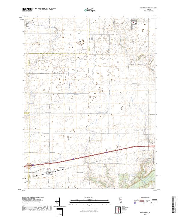
2024 Map of Weldon East
USGS Topo · Published 2024About this map
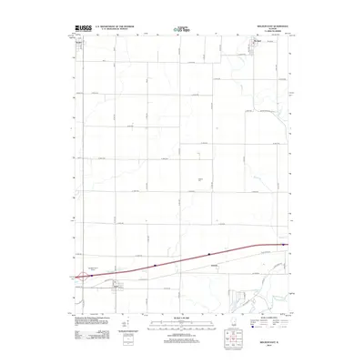
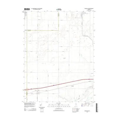
De Land and Cisco anchor the northern and southern reaches of this Central Illinois landscape, where the flat agricultural plains of Piatt County are etched by a network of drainage ditches and winding creeks. The southern edge is defined by the more varied topography of the Sangamon River valley, where the terrain breaks into wooded bluffs near Arrowhead Lake and Bour-H Lake.
Find a feature on this map
42 named features on this map. Tap any name to fly to it.
Don’t see what you’re looking for? This feature index may not catch every label — zoom into the map to look around manually.
Map Details
Editions of this 2024 Weldon East Map
This is the sole edition of this map. No revisions or reprints were ever made.
Historical Maps of De Land Through Time
15 maps found
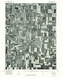
1975 Bement NE
Piatt County, IL
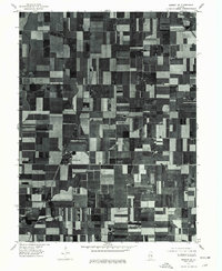
1975 Bement SE
Piatt County, IL
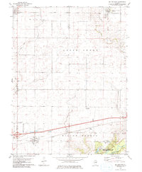
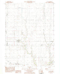
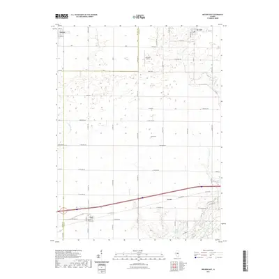
1979 Weldon East
Piatt County, IL
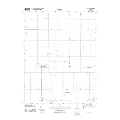
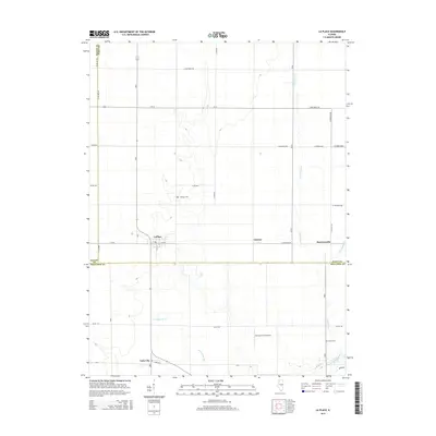
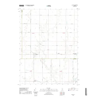
1983 La Place
Piatt County, IL
1999 La Place
Piatt County, IL
2012 La Place
Piatt County, IL
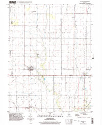
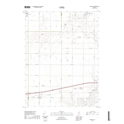
2012 Weldon East
Piatt County, IL
2015 La Place
Piatt County, IL
2015 Weldon East
Piatt County, IL
2018 La Place
Piatt County, IL
2018 Weldon East
Piatt County, IL
2021 La Place
Piatt County, IL
2021 Weldon East
Piatt County, IL
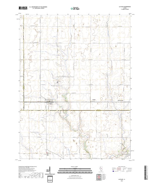
2024 La Place
Piatt County, IL
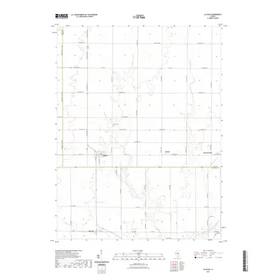
2024 Weldon East
Piatt County, IL