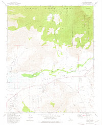
1972 Map of Weldon
USGS Topo · Published 1975About this map
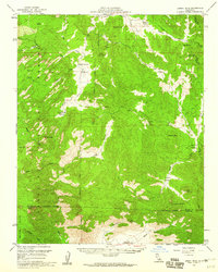
Weldon serves as a central hub in the South Fork Valley, where the South Fork Kern River creates a corridor of irrigated activity between the Sequoia National Forest and the Piute Mts. This 1970s survey captures the settlement patterns of Bella Vista and South Lake, providing a clear view of the rural infrastructure supporting these communities, including the South Fork Sch and a local Cem.
Find a feature on this map
43 named features on this map. Tap any name to fly to it.
Don’t see what you’re looking for? This feature index may not catch every label — zoom into the map to look around manually.
Map Details
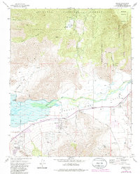
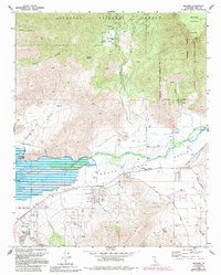
Editions of this 1972 Weldon Map
3 editions found
Other maps of this area

1906 · Kernville
USGS Topo · 1:125,000

1908 · Kernville
USGS Topo · 1:125,000

1943 · Onyx
USGS Topo · 1:62,500

1943 · Isabella
USGS Topo · 1:62,500

1948 · Bakersfield
USGS Topo · 1:250,000

1955 · Bakersfield
USGS Topo · 1:250,000

1956 · Bakersfield
USGS Topo · 1:250,000
1956 · Kernville
USGS Topo · 1:62,500
1956 · Lamont Peak
USGS Topo · 1:62,500

1960 · Bakersfield
USGS Topo · 1:250,000